Tech for Parks:
Global Forest Watch
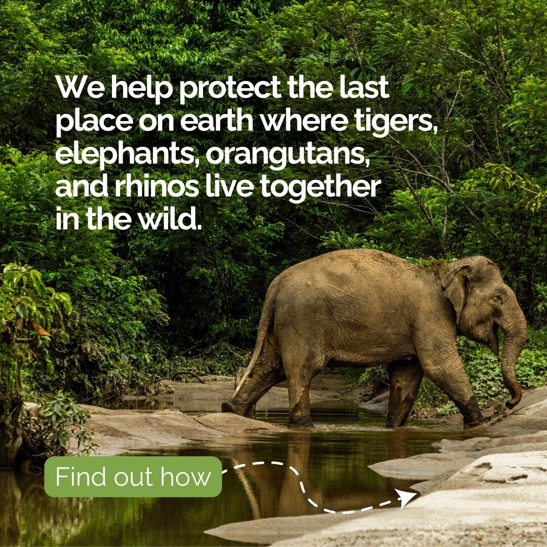
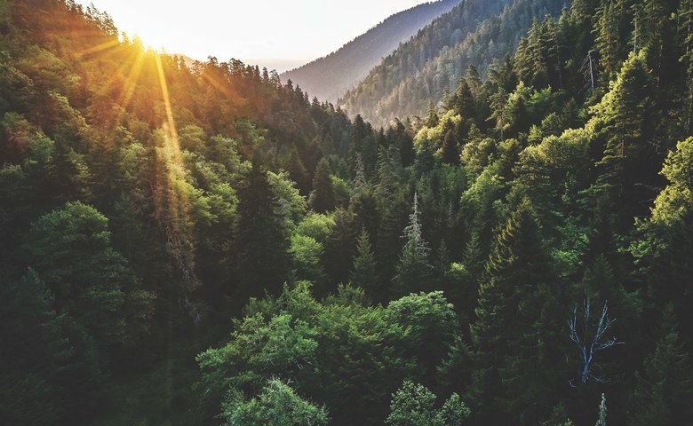
Forests are among the most important habitats on our planet: four out of every five plant and animal species live in them, and forests are critical for clean water, clean air, and combating climate change.
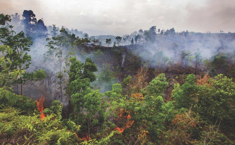
Yet, forests are being destroyed at a rate of fifty football fields a minute. In 2019, 3.7 million hectares of tropical primary forest were destroyed – the third highest year of forest loss in recorded history.
One of the reasons that deforestation is out of control is because it often happens out of sight of people who have the power to stop it. Analyzing satellite data can take years, and by the time large-scale deforestation is identified, the damage has already been done. It’s hard to manage what you can’t measure. That’s where Global Forest Watch comes in.
What is Global Forest Watch?
Global Forest Watch (GFW) is an award-winning platform that was created by the World Resources Institute in 1997. In 2014, they launched a free, fully interactive online platform with forest monitoring data for the whole world, creating unprecedented transparency about the state of our planet’s forests.
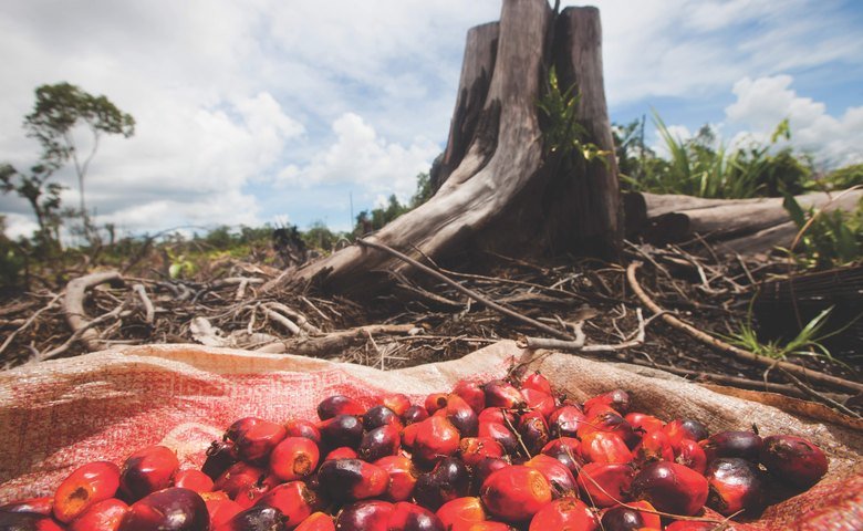
GFW makes the best available data about forests available online for anyone to access, supporting smarter decisions about how to manage forests and allowing the public to hold governments and companies accountable for forest destruction. It works by using cutting-edge algorithms to harness the power of cloud computing and satellite technology to identify where trees are growing and disappearing in near-real-time. Officials and law enforcement can sign up for alerts to let them know when deforestation is happening, which allows them to stop illegal logging before more forests are lost. Business managers for companies can see if suppliers of commodities like palm oil, soy, beef, and lumber are clearing forests (for example, read about how Unilever uses Global Forest Watch for sustainable palm oil sourcing). Local community members can even report deforestation from their mobile phone when they witness it, and citizen scientists can help review data or use it to campaign for forest protection.
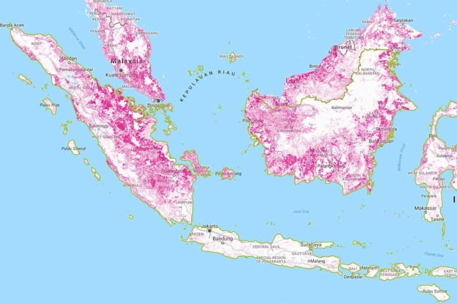
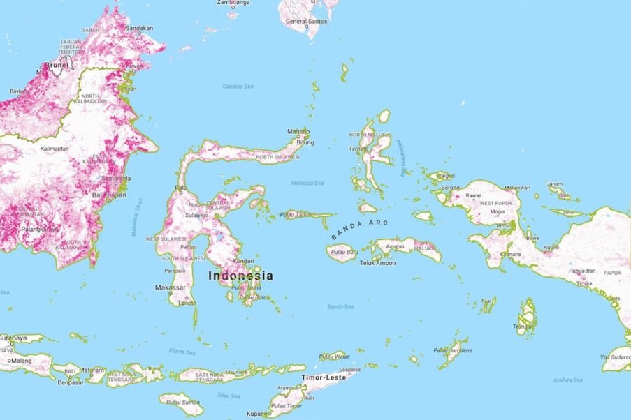
Five categories of data sets are available on the Global Forest Watch platform: Forest Change Data, Forest Cover Data, Forest Use Data, Conservation Data, and People Data.
The Forest Watcher App: Making deforestation data available offline
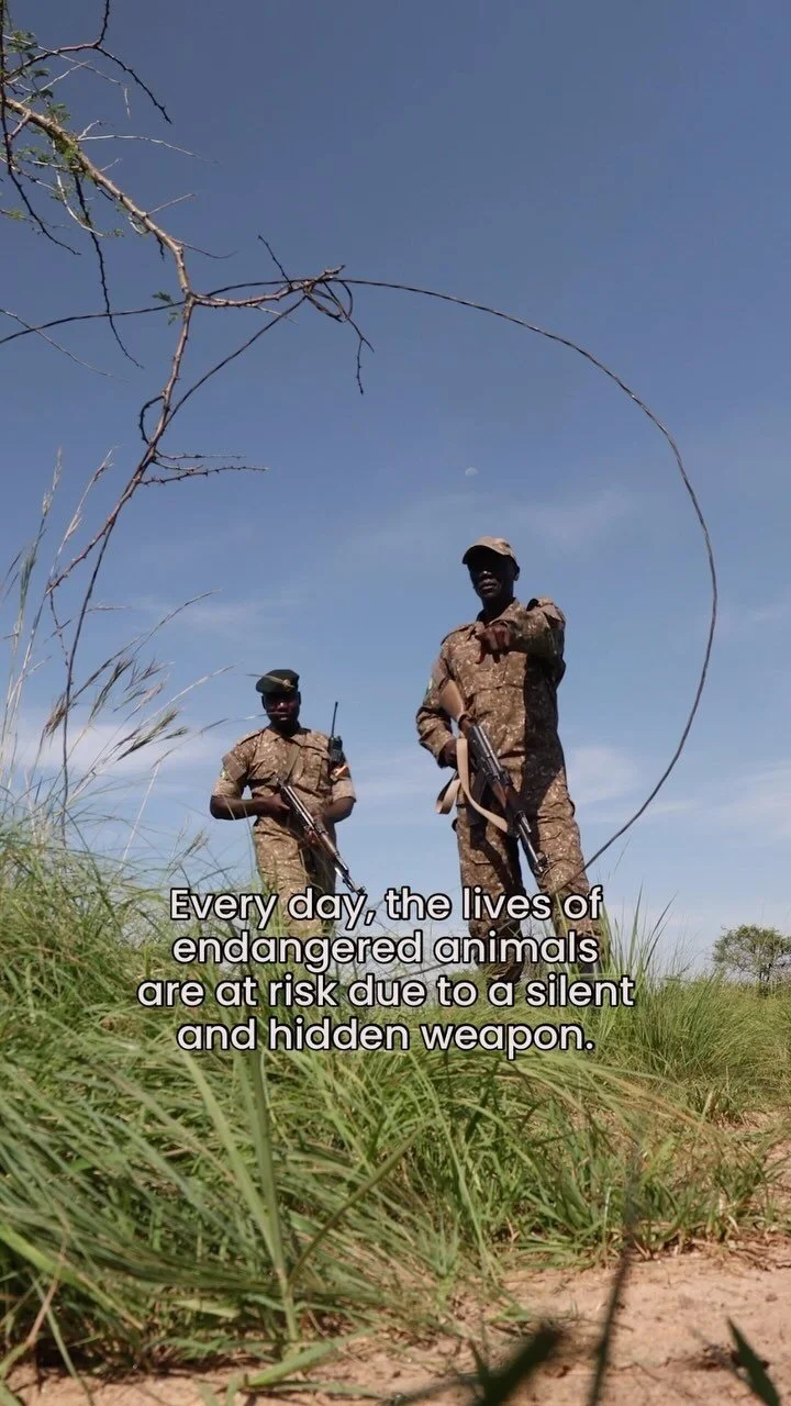
For Global Conservation’s projects, one of the most important elements of GFW is the Forest Watcher app. Although satellite technology has recently allowed huge advances in our understanding of deforestation, that information is useless unless it gets into the hands of the people who can stop forest destruction. Forest Watcher allows rangers to access GFW data and forest watch alerts offline, which is critical in areas with limited to no cell signal.
Using cached data, the app directs users to nearby forest clearing and enables them to capture photos and fill out forms about deforestation, which are uploaded next time their device connects to the internet. The app connects satellite surveillance to boots on the ground, allowing rangers on patrol to know exactly where to look for deforestation and stop the illegal activity before it gets out of control. Forest Watcher is free, open source, and available in English, Spanish, Portuguese, French, and Bahasa Indonesian.
Forest Watcher allows users to:
Designate area(s) of interest to monitor
Download various satellite-based forest change and other contextual data (e.g. near real-time deforestation alerts, protected areas, and intact forest landscapes) onto a mobile device
Navigate to alerts in the field, even without internet connection
Collect information, including GPS points and photos, through customizable forms
Review, analyze, and download data collected via the app
How to use Global Forest Watch to visualize global forest data
Watch more Global Forest Watch tutorials here, and read the Pulitzer Center's Introduction to Global Forest Watch Resources for Journalists webinar here.
“With Forest Watcher, we can now have intelligence-led patrols in Kibale National Park,” reported Agaba Hillary Kumanya, a senior warden for ecological monitoring with the Uganda Wildlife Authority. “We no longer go randomly to places, but instead know where to look for the latest forest loss.”
Global Forest Watch and the Forest Watcher app are used every day by governments, law enforcement, private enterprise, NGOs and the public.
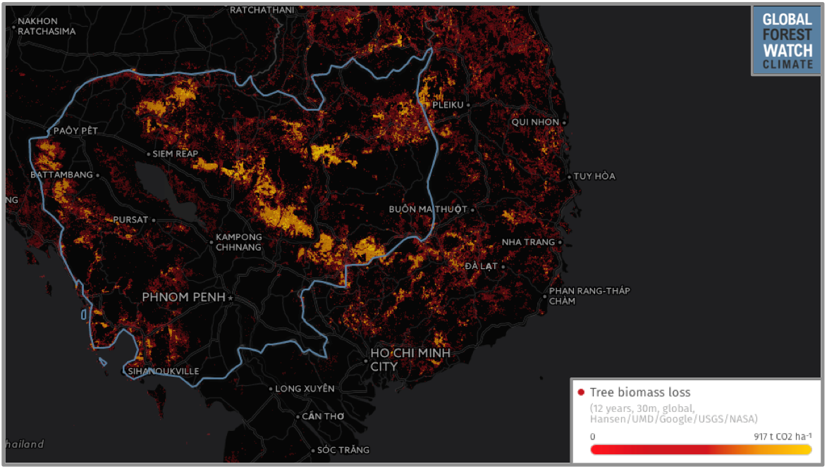
Global Forest Watch Fires data, which is based on the NASA Active Fires data, were used to identify illegal burning that caused the 2015 Southeast Asian haze crisis. The same dataset is being used now to track the current global fires crisis. NGOs have used GFW data to track deforestation in Cambodia, which is now being exacerbated by the COVID-19 pandemic.
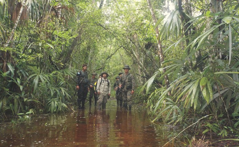
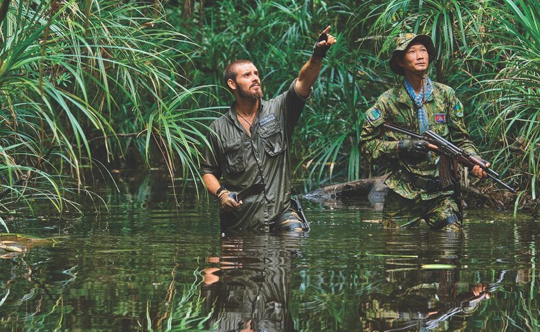
Our partners in Indonesia, HAkA, deployed Forest Watcher with global forest monitors in the Leuser Ecosystem. With Global Conservation’s support, Global Forest Watch trained more than 40 Forum Konservasi Leuser (FKL) rangers and Aceh Forestry staff in satellite-based fire and deforestation monitoring. Rangers used to manually inspect raw satellite imagery, and then send patrols to the field with pen and paper to collect information. With Forest Watcher, deforestation alerts come straight to their cell phones, which they can also then use to collect GPS points, photo evidence, and notes on the deforestation event. This way, they can efficiently report evidence to local authorities for investigation and prosecution of illegal forest destruction.
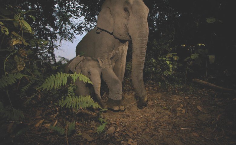
Global Conservation also funded the deployment of Global Forest Watch and Forest Watcher systems with the Jane Goodall Institute (JGI) in Kibale National Park, Uganda. By using the Global Forest Watch platform in combination with mobile technologies to improve forest monitoring, GFW is helping to strengthen the work of JGI to protect chimpanzees and their habitats. The Budongo and Bugoma Forest Reserves in western Uganda are home to an estimated 1,157 chimpanzees. However, loss of forest in the vital corridors between these reserves threatens the connectivity and survival of these chimpanzee populations.
Forest Watcher and GLAD forest loss alerts helped successfully detect new deforested areas along the park boundaries. “Thanks to GLAD alerts, the park management were able to prevent further illegal activities and encroachment that could have spread deeper into the national park,” said Timothy Akugizibwe, the Jane Goodall Institute officer in Uganda that is training rangers to use Forest Watcher.
Global Forest Watch has been a true game-changer for the protection of our planet's forests. Technological advances like this are crucial for defending our last wildernesses. To read more about how Global Conservation uses technology like this in our Global Park Defense program, click here.