Community Resources
Global Conservation’s Indigenous Lands Protection Feature is Out Now
Indigenous teachings, generational values, and devotion to being one with nature are more important and valuable than ever in a world that is currently in its Sixth Mass Extinction and caused by humans alone.
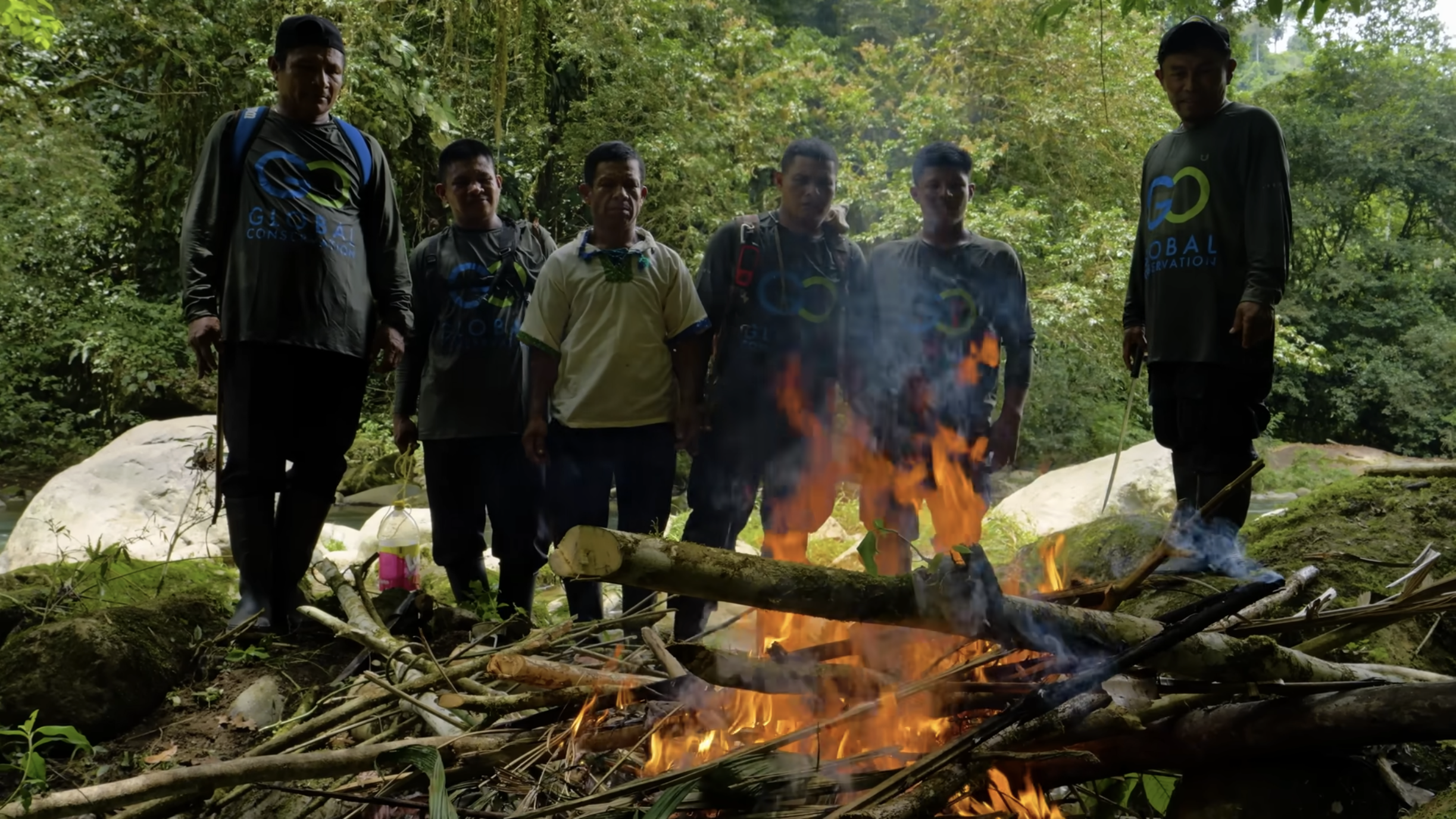
Since 2020, Global Conservation has been working directly with indigenous peoples to protect their Communal Reserves and National Park lands to defend the natural places they inhabit. By some estimates, Indigenous peoples make up 5% of the world’s population but safeguard 80% of the world’s biodiversity.
GC SUMMITS
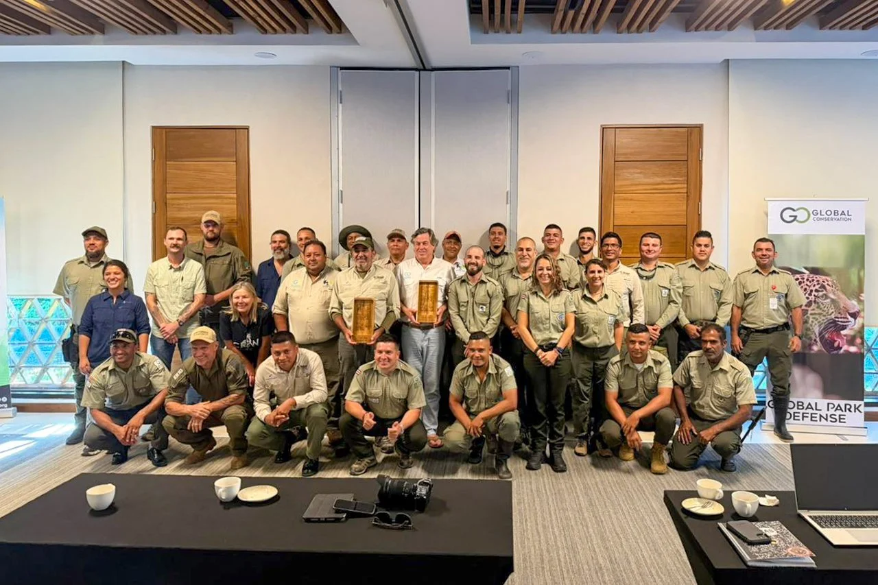
Leadership for National Park and Community Protection
Online Education and Training
Featured


Educational Handbooks

Global Park Defense Handbook

Community Protection Handbook

Marine Protection Handbook

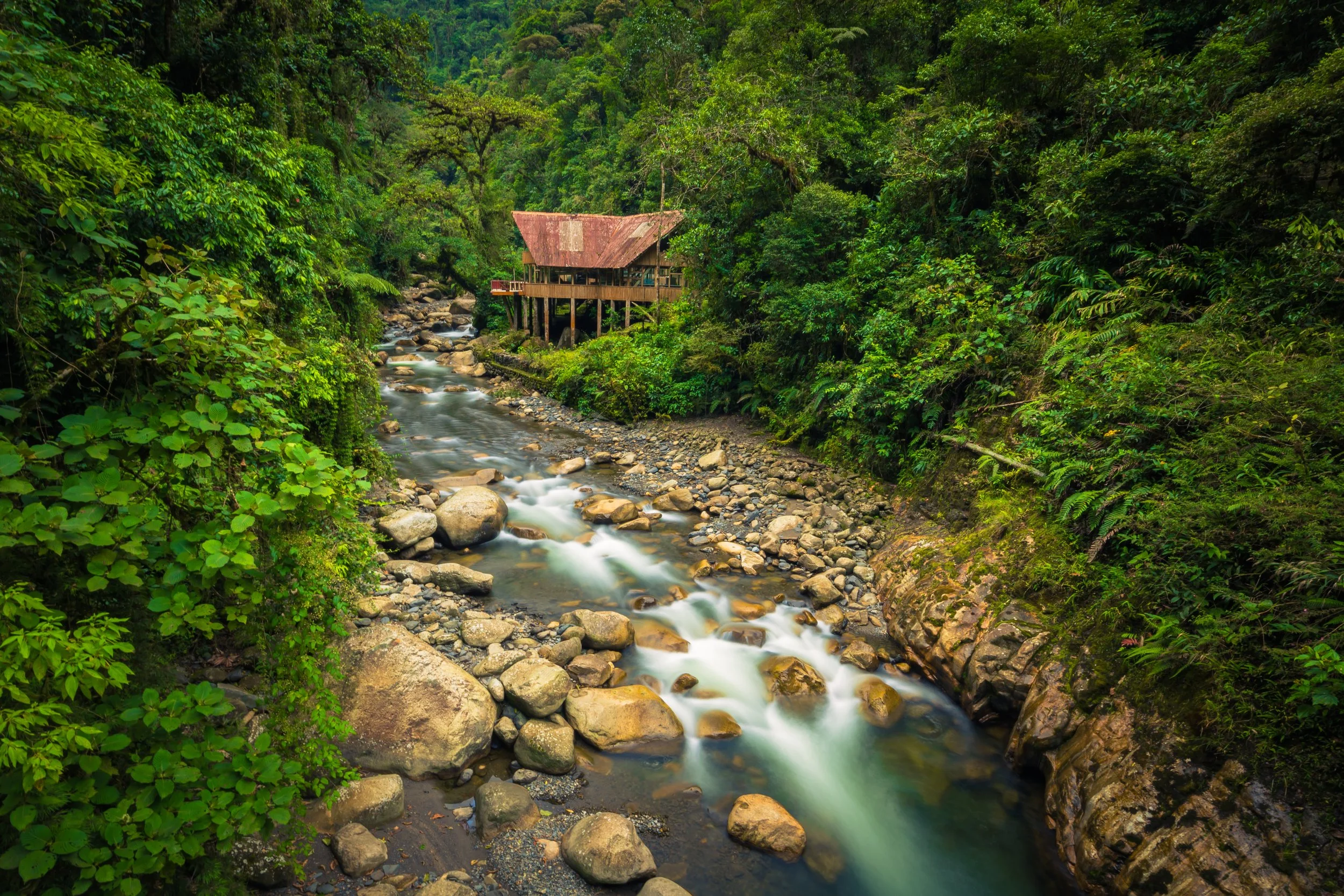
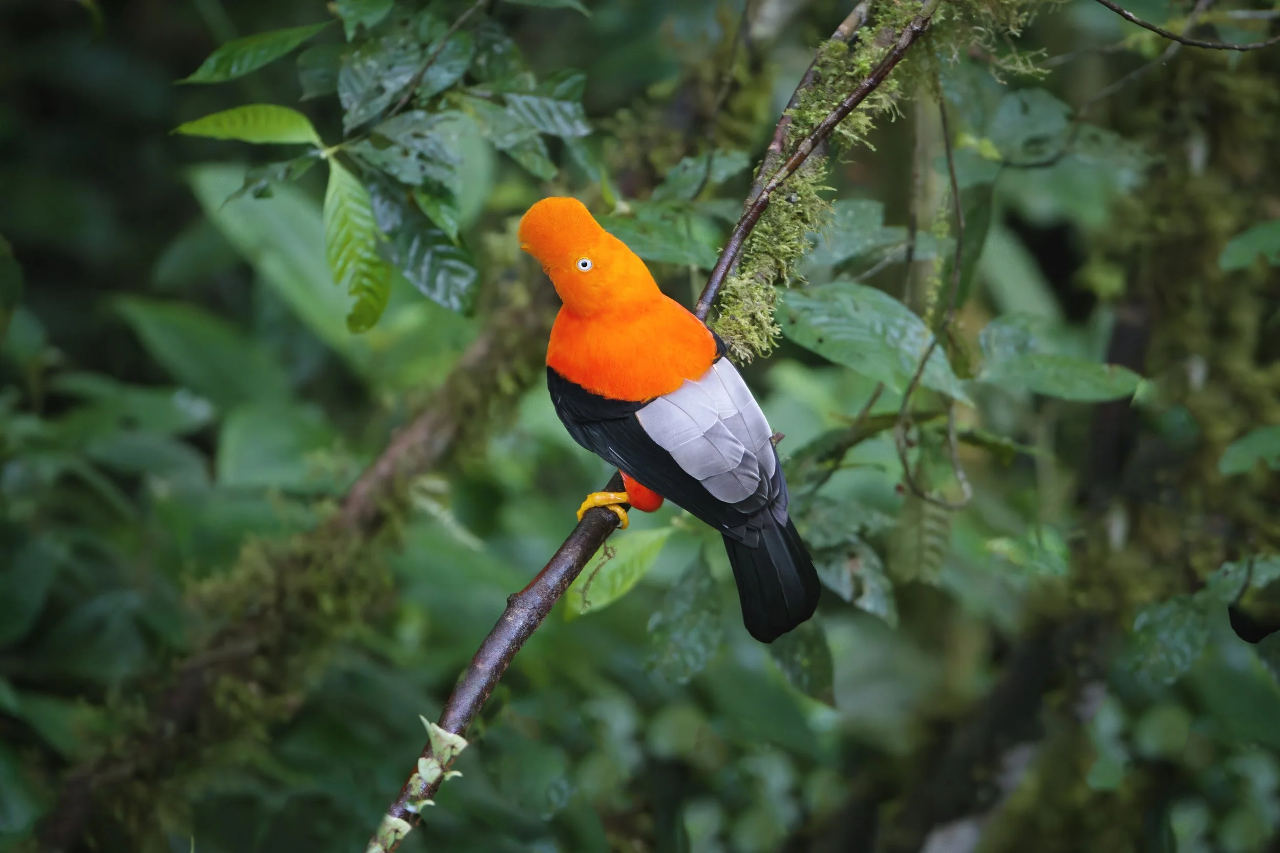
We created this book to show you the amazing beauty and biological importance of the global parks where we work. Please join us in our journey to save the world’s wild riches!

Impact Reports

Impact Report 2024-2025

Impact Report 2022-2023

Impact Report 2017-2018

Impact Report 2021-2022

Saving Our Global Parks 2016-17

Impact Report 2019-2020

Saving Our Global Parks 2015-16

GC Network:
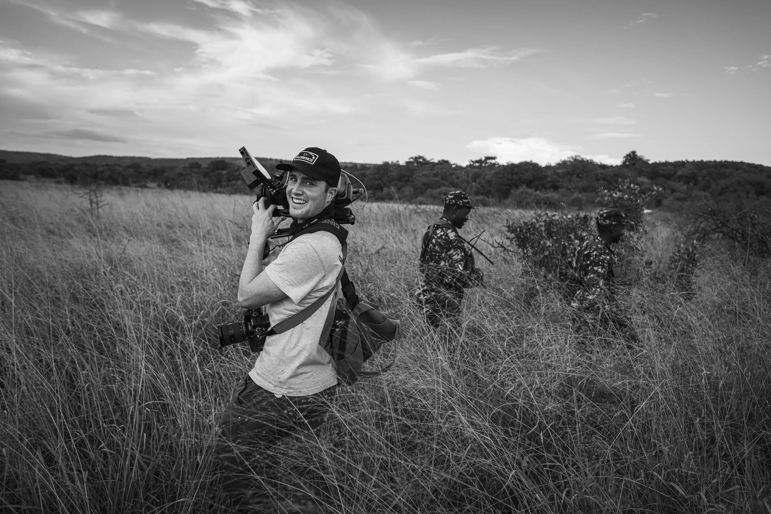
Meet our Filmmakers


Working on the frontlines of environmental conservation, they have faced poachers, cartel informants, piracy, and more in order to capture the footage needed to show the real stories behind anti-poaching efforts.