
GC News and Progress
GC Supports Alaungdaw Kathapa National Park, Myanmar Despite Civil War
To help secure the future of this unique place, Global Conservation signed an agreement with the Myanmar Ministry of the Environment in 2018. This year, the Myanmar Department of Forestry will begin to deploy Global Park Defense in AKNP, and Global Conservation will work to have AKNP listed as a Natural and Cultural UNESCO World Heritage Site.

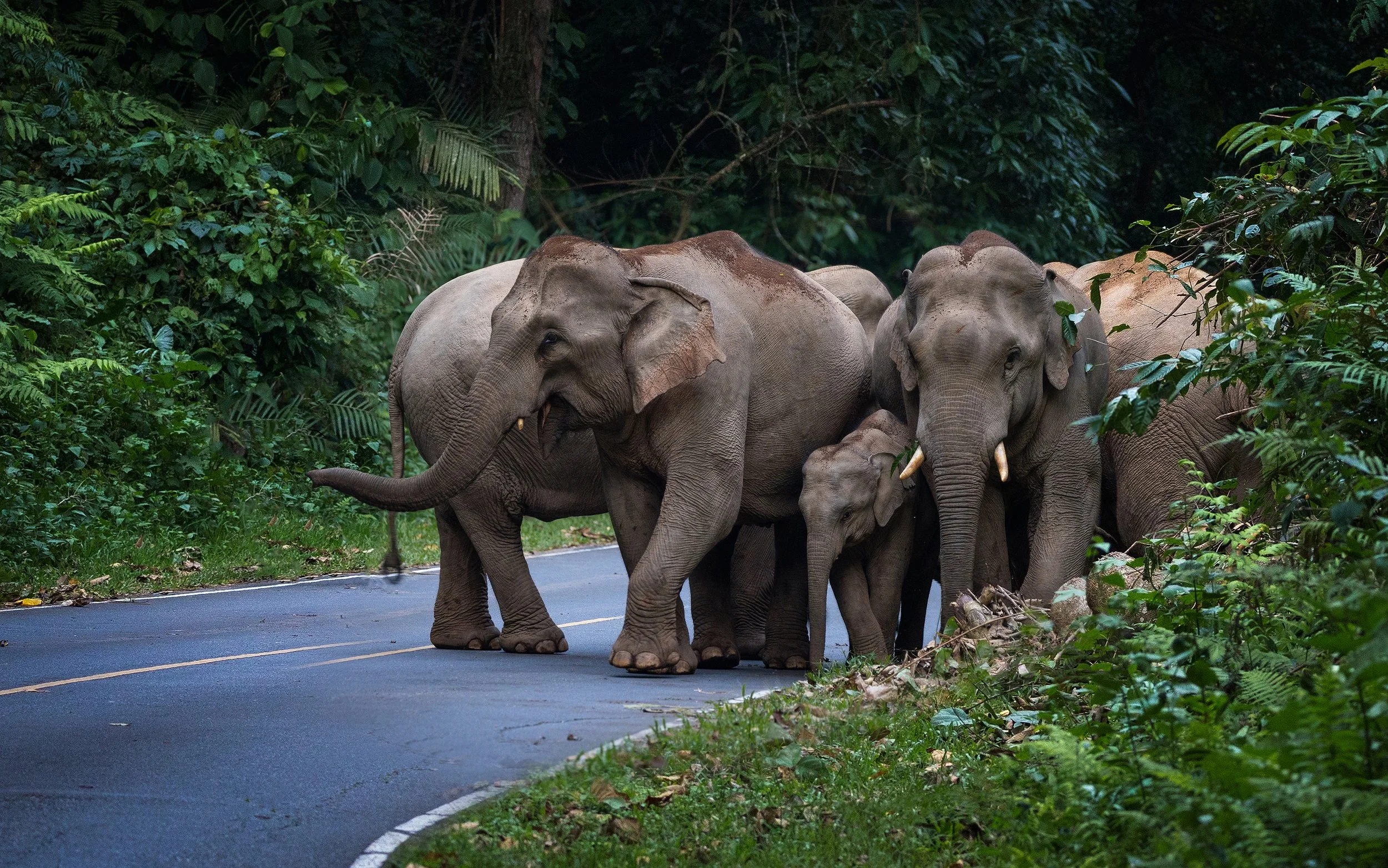
Update on GC Singkil Wildlife Reserve and Suaq Restoration in Leuser Ecosystem, Sumatra
In order to stop illicit palm oil plants and timber extraction, Global Conservation is supporting the construction of new guard posts, restoring forests through the Squa nursery program, and advancing law enforcement partnerships.
Komodo National Park Rangers Clear All Poaching from the West Side of the Park
Successful arrests have marked a significant milestone in protecting Komodo NP. Intelligence-led enforcement efforts and collaboration with governmental agencies reflect a long-term commitment to dismantling the poaching network and bringing all perpetrators to justice.
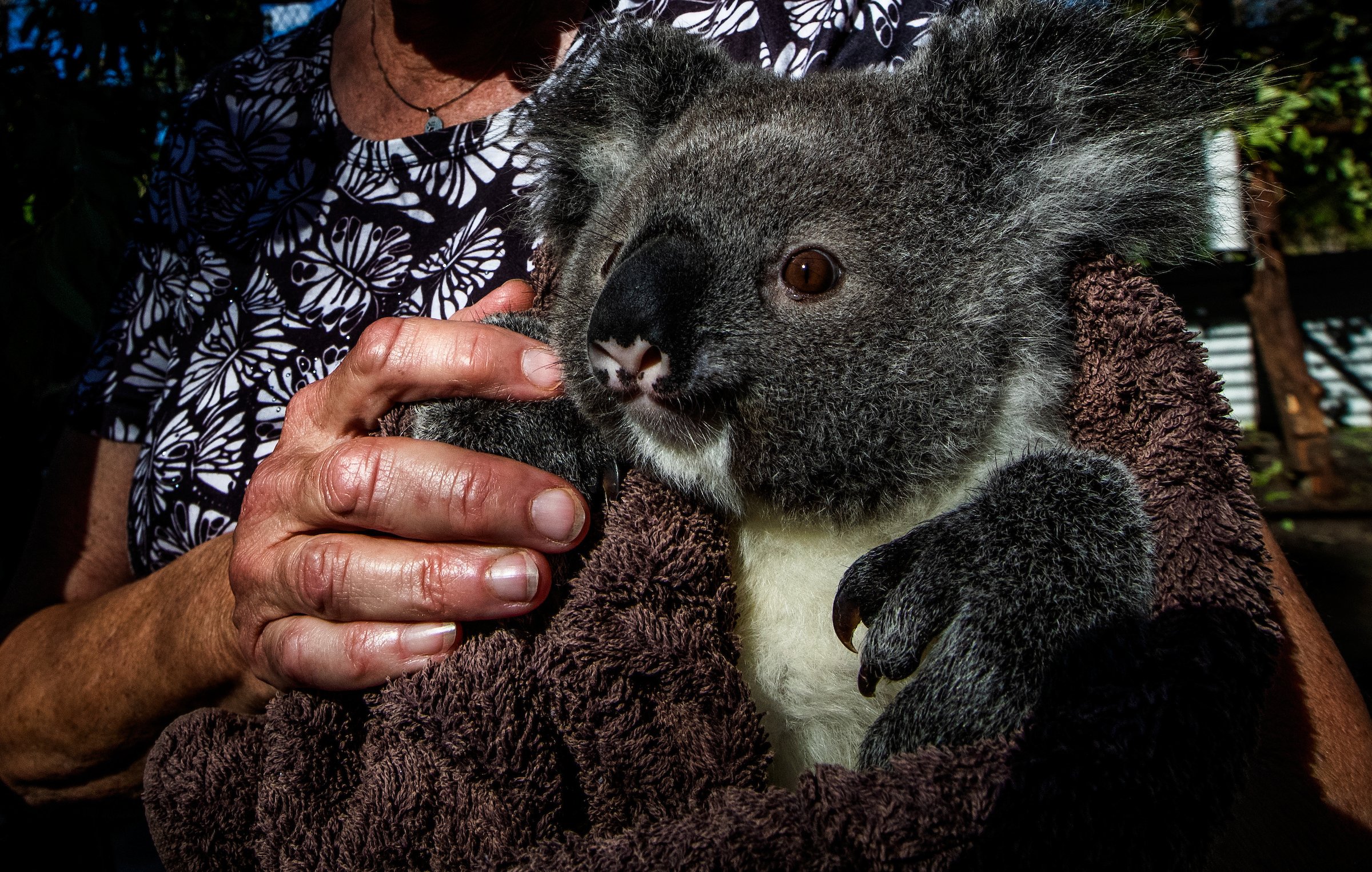
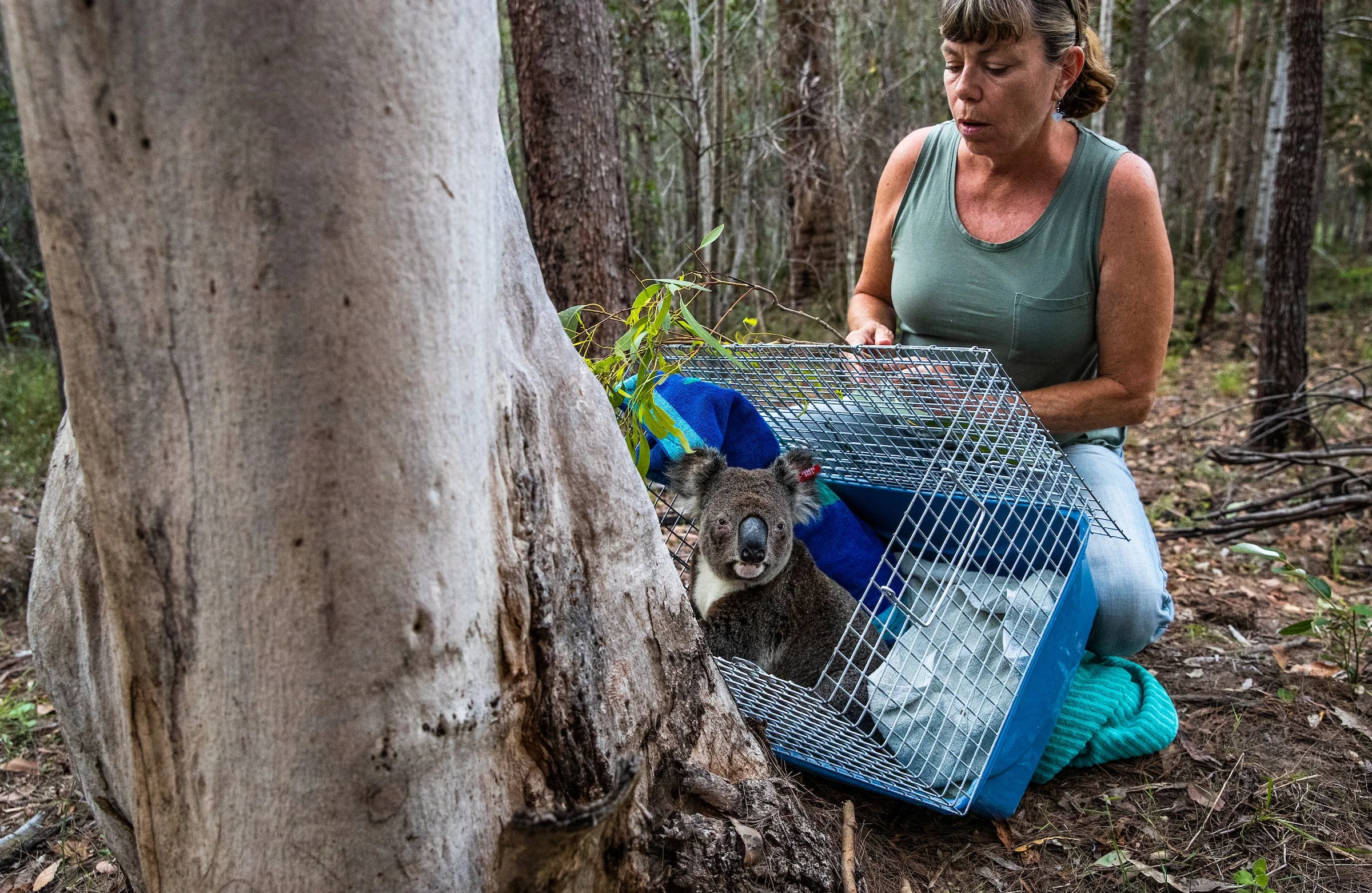
GC Film “Saving the Last Koalas” to be featured in the upcoming Wild Earth Oceania Film Festival
Saving the Last Koalas is one of twelve films and a lever for a National Campaign to both Protect the GKNP and Stop all native logging in Australia.
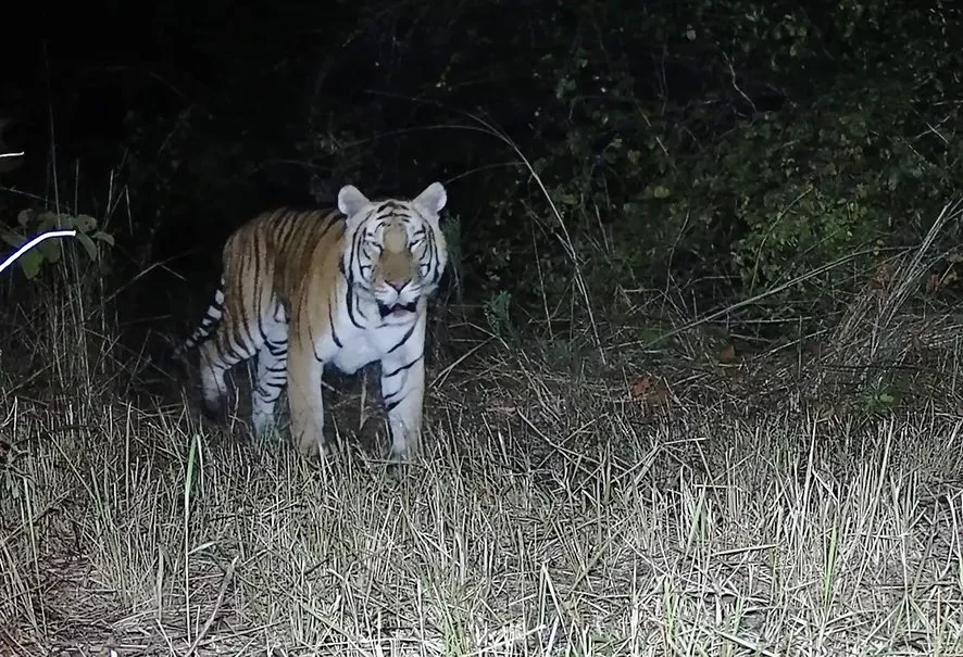
Video: Confirmation of a Royal Bengal Tiger in Sanctuary of GC Partner
A Royal Bengal tiger was photographed during a camera-trap survey conducted recently in the sanctuary with technical support from Bengaluru-based Ashoka Trust for Research in Ecology and the Environment (ATREE).

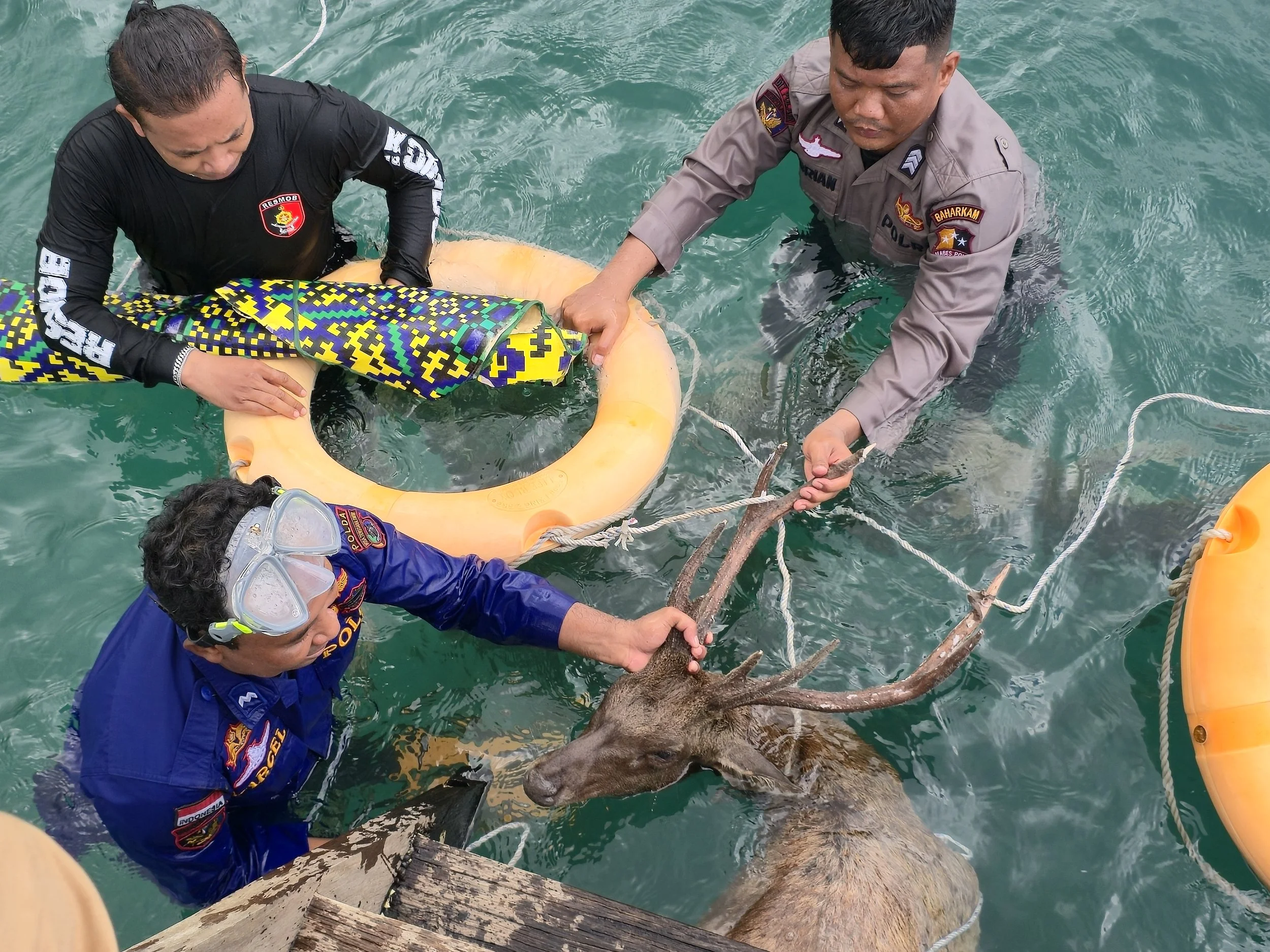
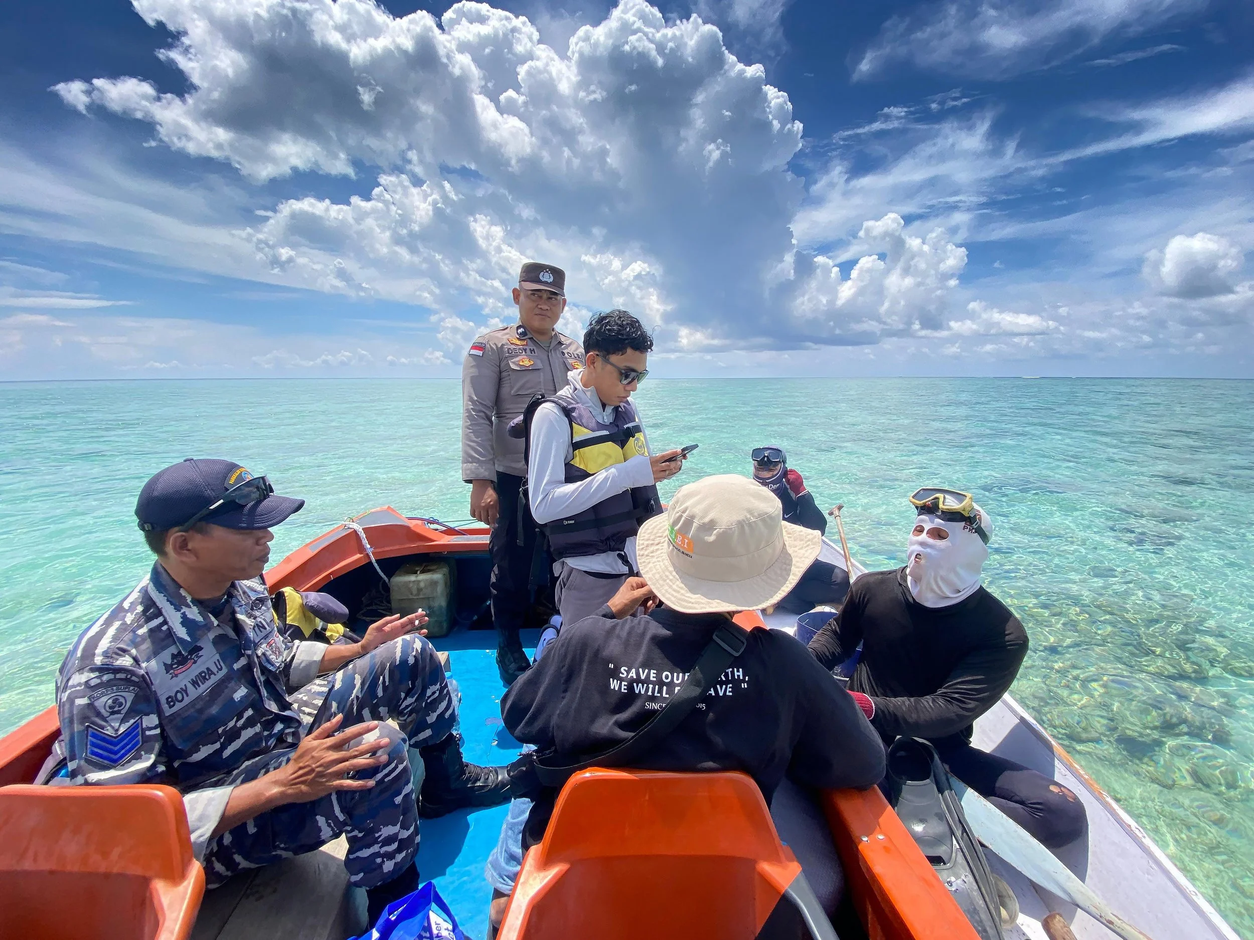
GC Indonesia June 2026 Highlights
Through enhanced patrols, technology deployment, expanded partnerships, key species protection, and community empowerment, multiple initiatives continued to support sustainable marine conservation across East Kalimantan and Maluku.
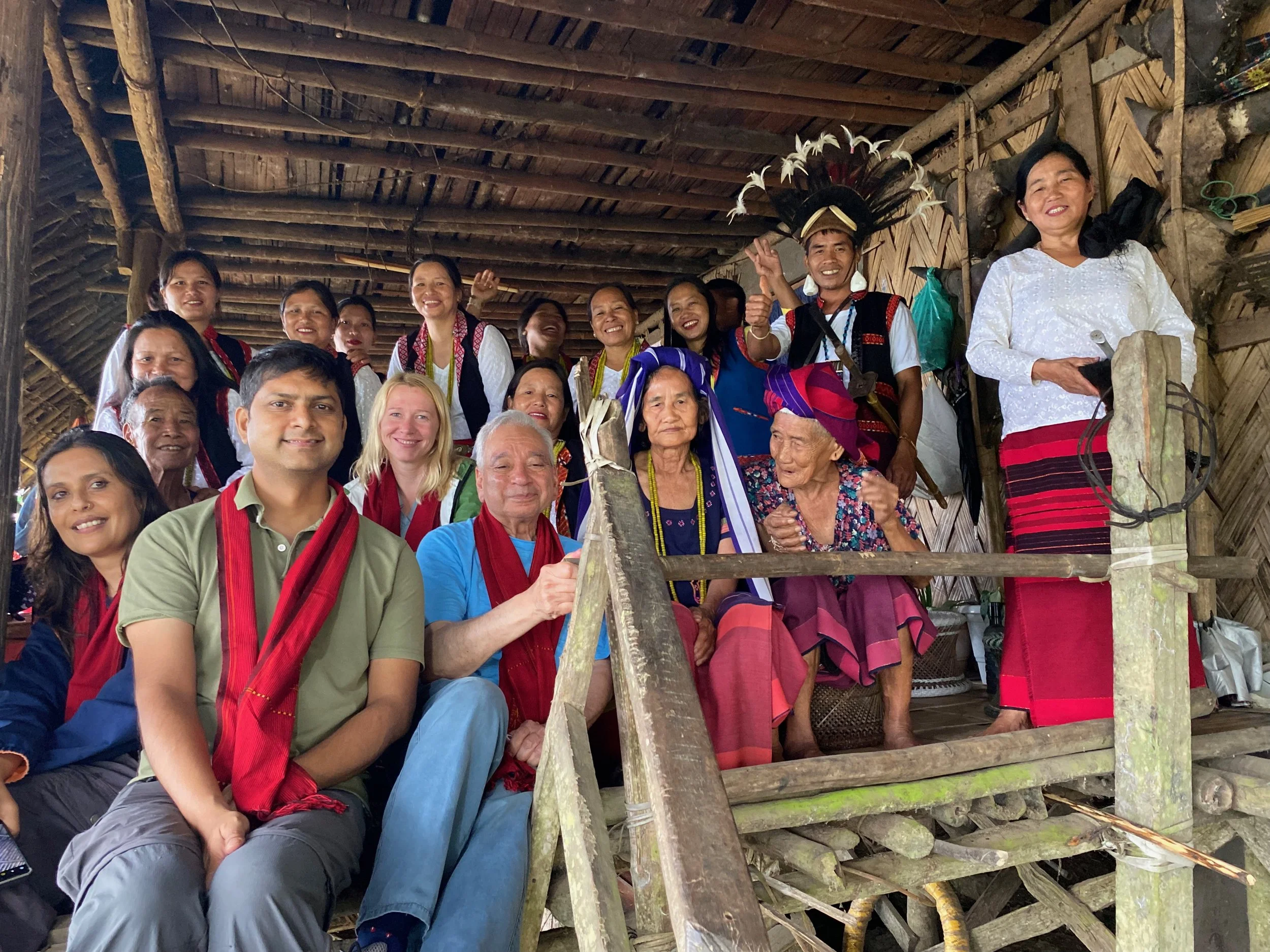
Protecting Mouling, India: A Three-Year Report to Global Conservation
The Ashoka Trust for Research in Ecology and the Environment (ATREE) program in Arunachal Pradesh—part of the wider Himalayan Initiative—works across one of the most irreplaceable and least-protected biodiversity regions on earth.
The National Press Club Announces Annual Journalism Awards: GC’s LAST LANDS Among the Winners
The Ann Cottrell Free Animal Reporting Award Goes to
ABC News Live with Global Conservation for Last Lands: South Africa
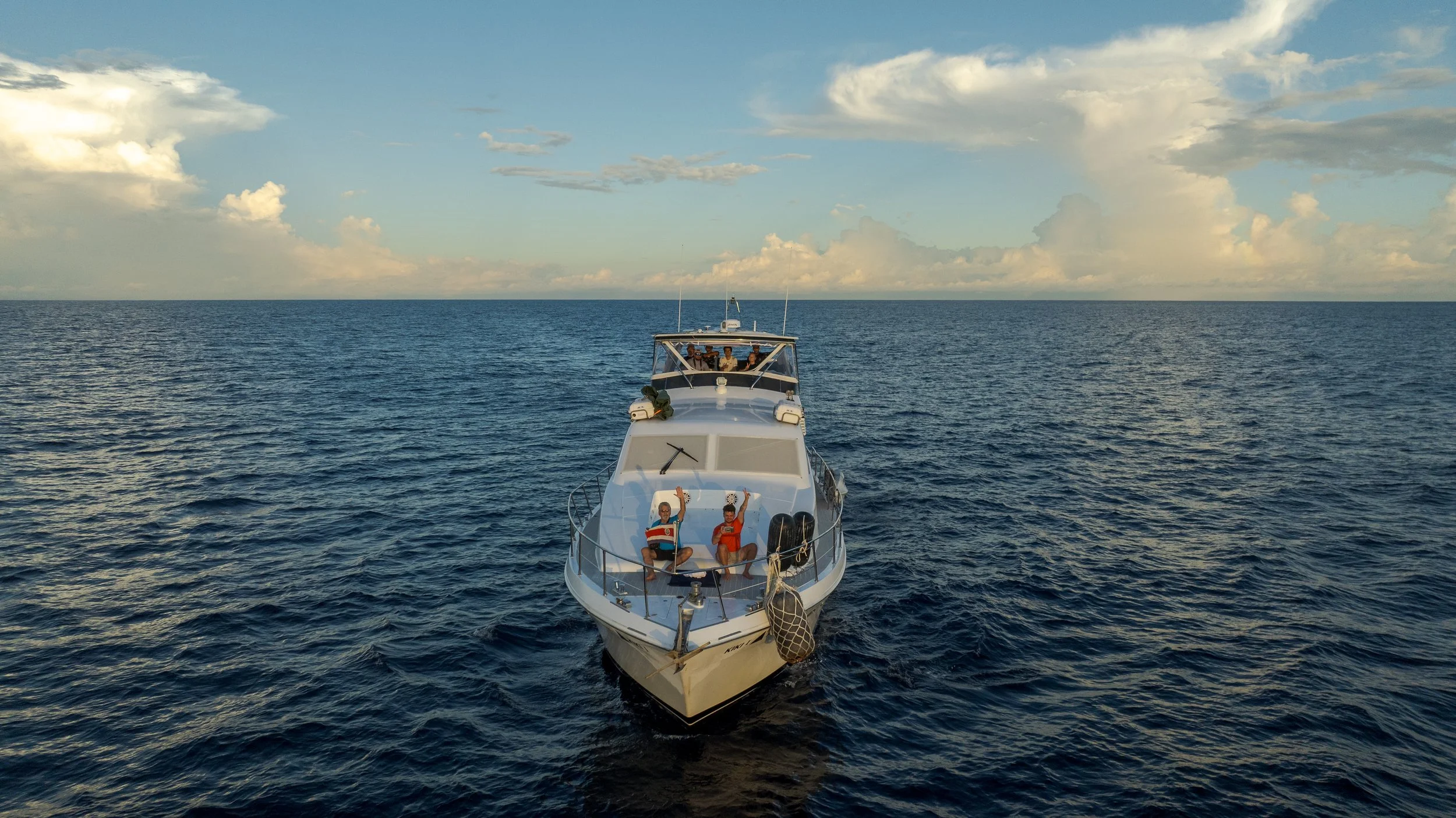
For The Oceans Successfully Completes the First Phase of the “Peace for the Pacific” Expedition
Funded by Global Conservation, For the Oceans Foundation has announced the successful completion of the first phase of the “Peace for the Pacific” Expedition, a scientific, monitoring, and marine documentation mission that covered more than 600 nautical miles throughout Costa Rica’s Eastern Tropical Pacific. PftP was developed by For the Oceans Foundation within the framework of the One Ocean Worldwide Coalition (OOWC).

GC Announces Historic $2 Million Dollar Grant to Save African Species
Global Conservation and Busch Gardens Conservation Fund Announce Historic $2 Million Grant for Wildlife Recovery of Lions, Rhinos, Elephants, Hippos, Hyenas, and Giraffes in Uganda’s National Parks
GC in the News: Koalas are Running Out of Time. Will a $140 Million National Park Save Them?
In a historic move, the New South Wales government has announced a Great Koala National Park will be established on the state’s Mid North Coast, in a bid to protect vital koala habitat and stop the species’ sharp decline.
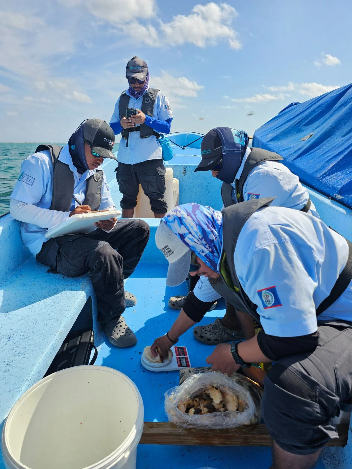
Turneff Atoll Sustainability Association's 2025 Annual Report
Global Conservation reports from Belize on the effectiveness of the 2025 enforcement and scientific adaptive management of Turneffe Atoll, the country’s largest Marine Protection Area (MPA).
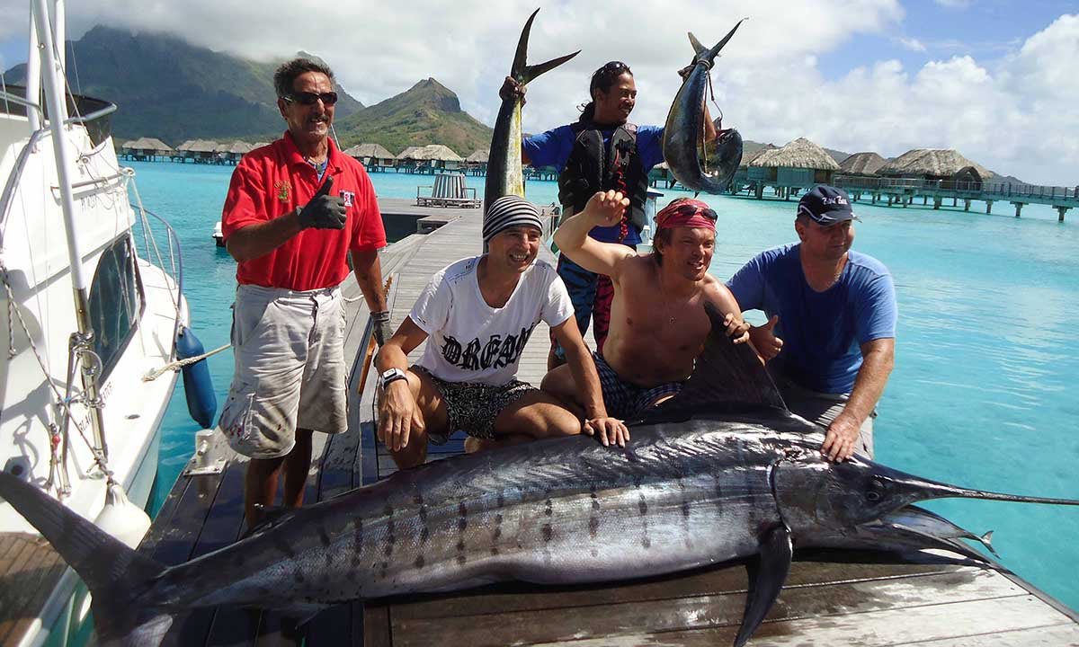
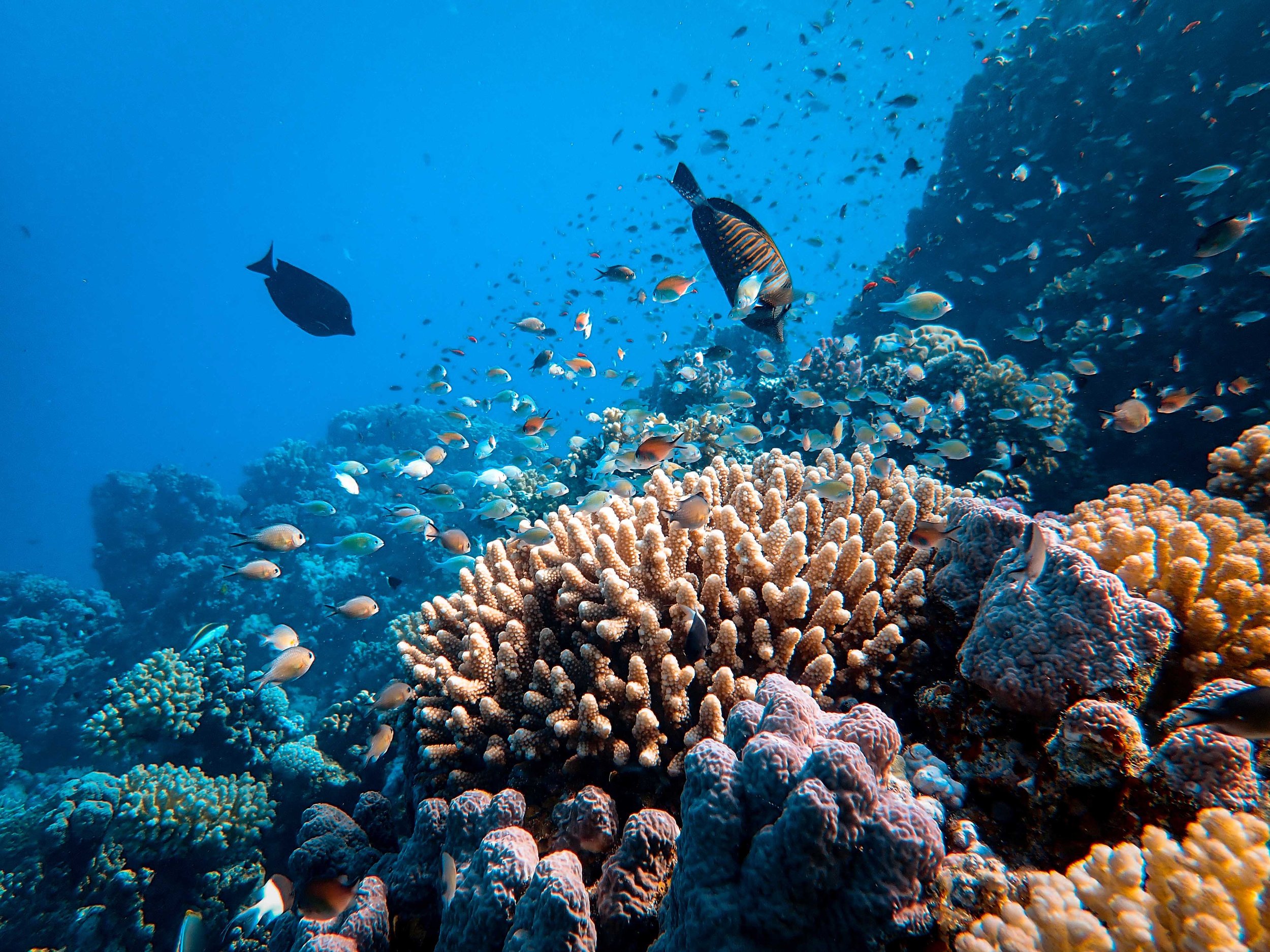
French Polynesia Achieves Major Progress in Marine Protection; Support Arrives from GC
While Bora Bora has been considered a prime destination for vacationing in one of the world's most beautiful island chains, decades of tourism, including sports fishing, and an explosion of non-native people moving there have left a significant number of reef systems dead or depleted. GC now collaborates with the French Polynesian government, researchers, locals, and more to save this local marine ecosystem.
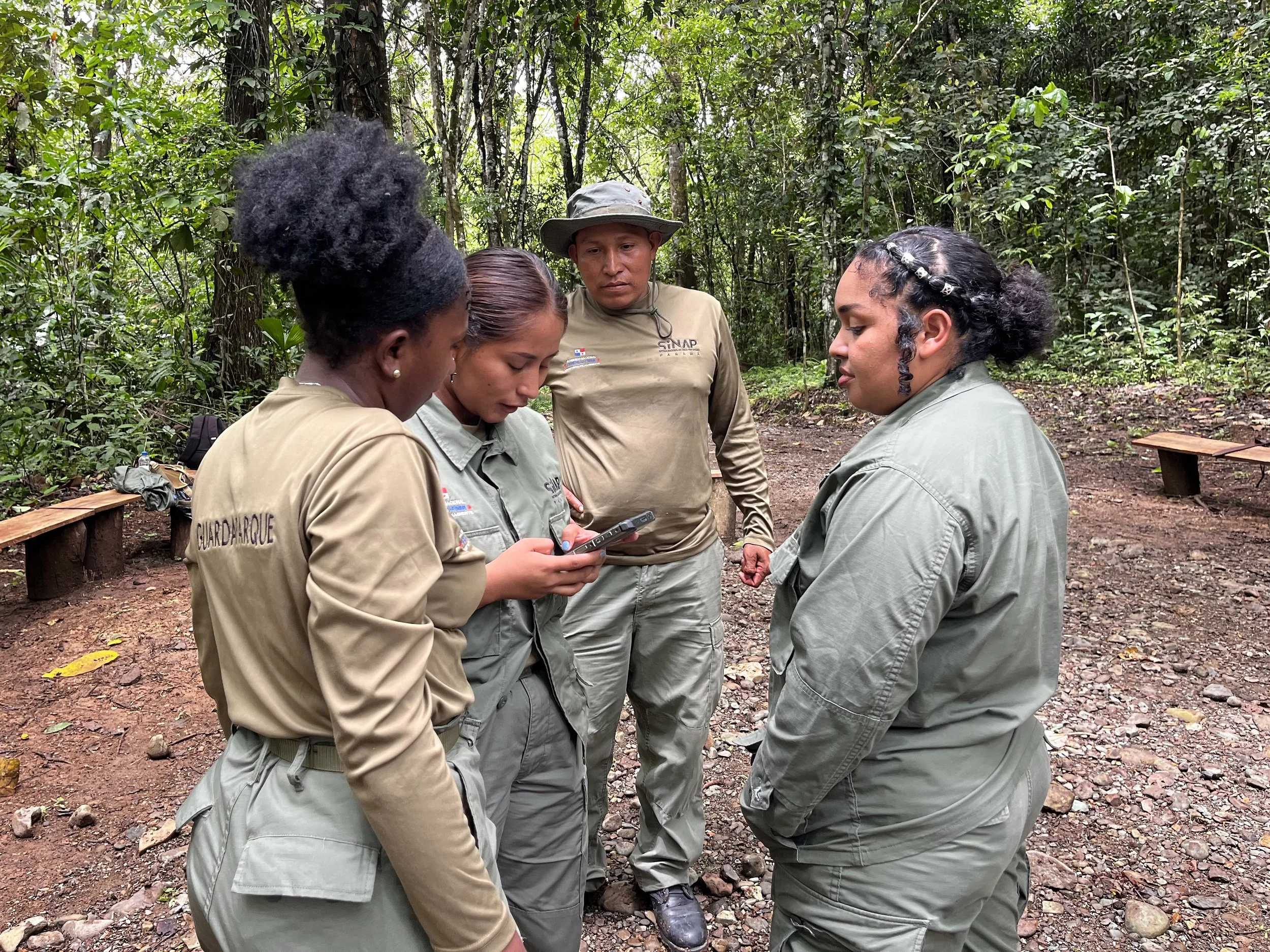
On a Mission in Panama to Create Park Rangers
During the month of May, Global Conservation, in collaboration with Panama’s National System of Protected Areas (SINAP), led a three-day training program for Panama National Park Rangers. More than 20 park ranger supervisors and field-level rangers from various Panamanian national parks attended. The training was designed to equip these supervisors and rangers with knowledge and skills they could pass along to other park rangers.
May 2026 Highlights: From Protection to Research
Following the launch of the Banda Seas Project in April, patrol teams from the Fisheries and Marine Affairs Department (DKP) of Maluku, local NGOs, the Navy, and the Marine Police conducted three patrol missions across Banda Neira, West Seram, and the Kei Archipelago, covering approximately 360 km of marine waters.
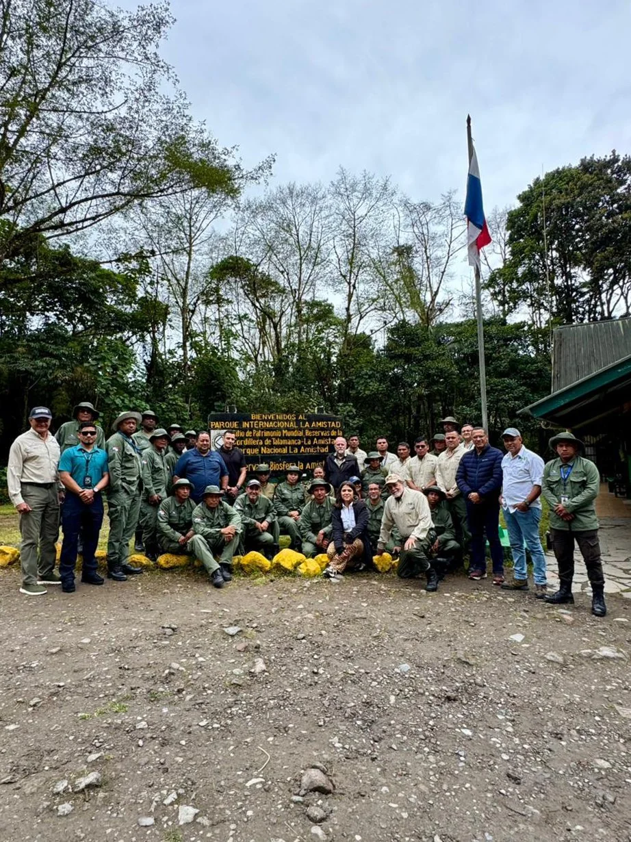
Darién National Park Rangers Strengthen Their Capabilities with the Support of Global Conservation
As part of ongoing efforts to strengthen the protection and conservation of the country's natural resources, the Ministry of Environment, with the support of Global Conservation, continues to promote the training and professional development of the rangers of Darién National Park.
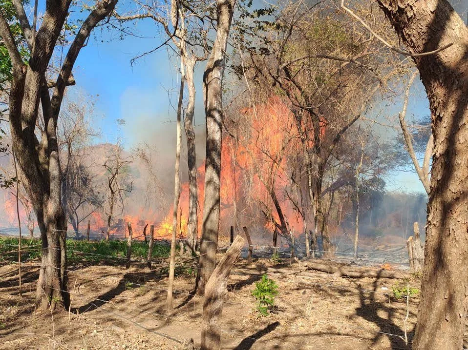
GC Supports Thermal Imaging to Prevent Fires in the Guanacaste Conservation Area
The Guanacaste Conservation Area showcased its operational prowess and dedication to environmental preservation in the first three months of 2026 by implementing a comprehensive strategy that prioritized monitoring, preserving biodiversity, preventing wildfires, and coordinating among institutions.
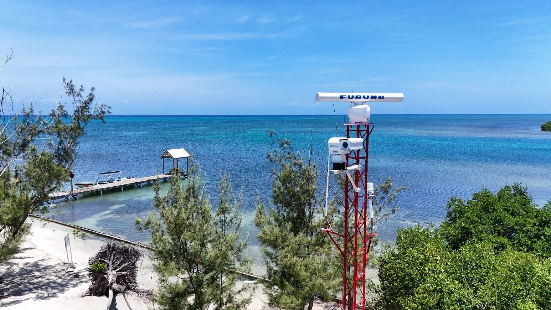
Expansion of the Marine Monitor (M2) Radar Systems and Command Centers at the Turneffe Atoll Marine Reserve
The Turneffe Atoll Sustainability Association (TASA) has expanded its maritime surveillance within the Turneffe Atoll Marine Reserve (TAMR). Building upon the initial 2021 deployment of the Marine Monitor at the Caye Bokel Conservation Outpost in the south of the atoll, TASA has now integrated a second M2 system at the Maugre Caye Conservation Outpost in the north.
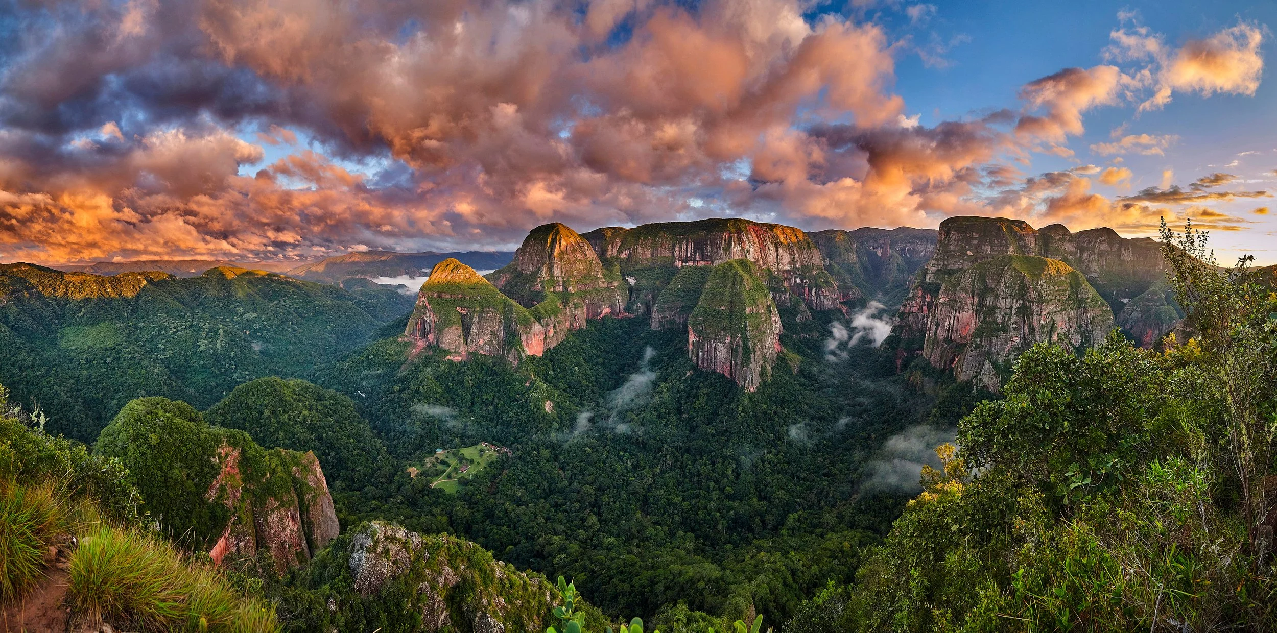
GC Announces New Protection of Amboró National Park, Bolivia
GC now aims to battle illegal activities in Amboró, which has been losing forest cover to illicit activities such as the cultivation of coca crops for the production of cocaine and illegal land clearing by surrounding populations and outsiders
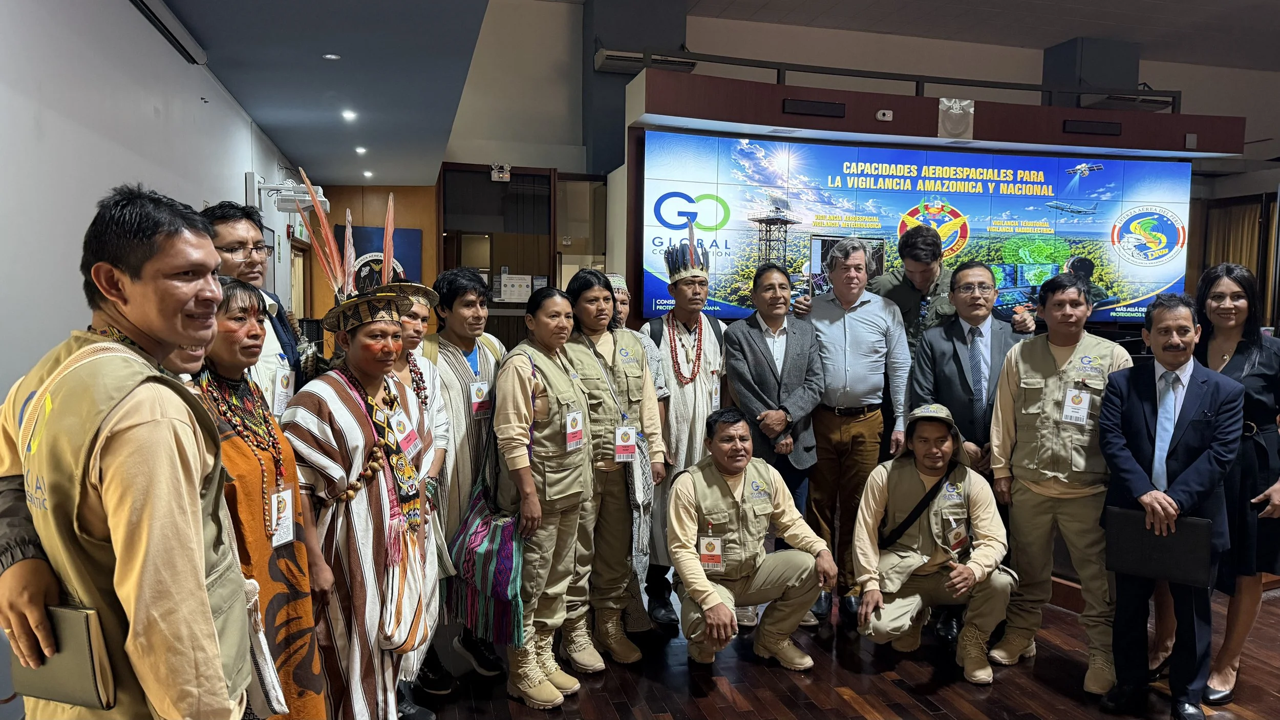
Peruvian Airforce and GC Sign Cooperation Agreement to Protect Peru’s National Parks and Indigenous Territories
Margoth Quispy, the GC Director for South America, is spearheading a vital initiative in Peru's capital, Lima. A Memorandum of Understanding was inked with the Peruvian Air Force General to oversee the preservation of four national parks and nine Indigenous Communities. Over 1.2 million acres combined are now protected by Global Park Defense and Community Protection.
Join Us Today
Become an integral part of our mission and make an impact on your world today. Natural ecosystem global safety truly depends on you.