
Exploration and Field Testing of Banda Sea Monitoring Technology
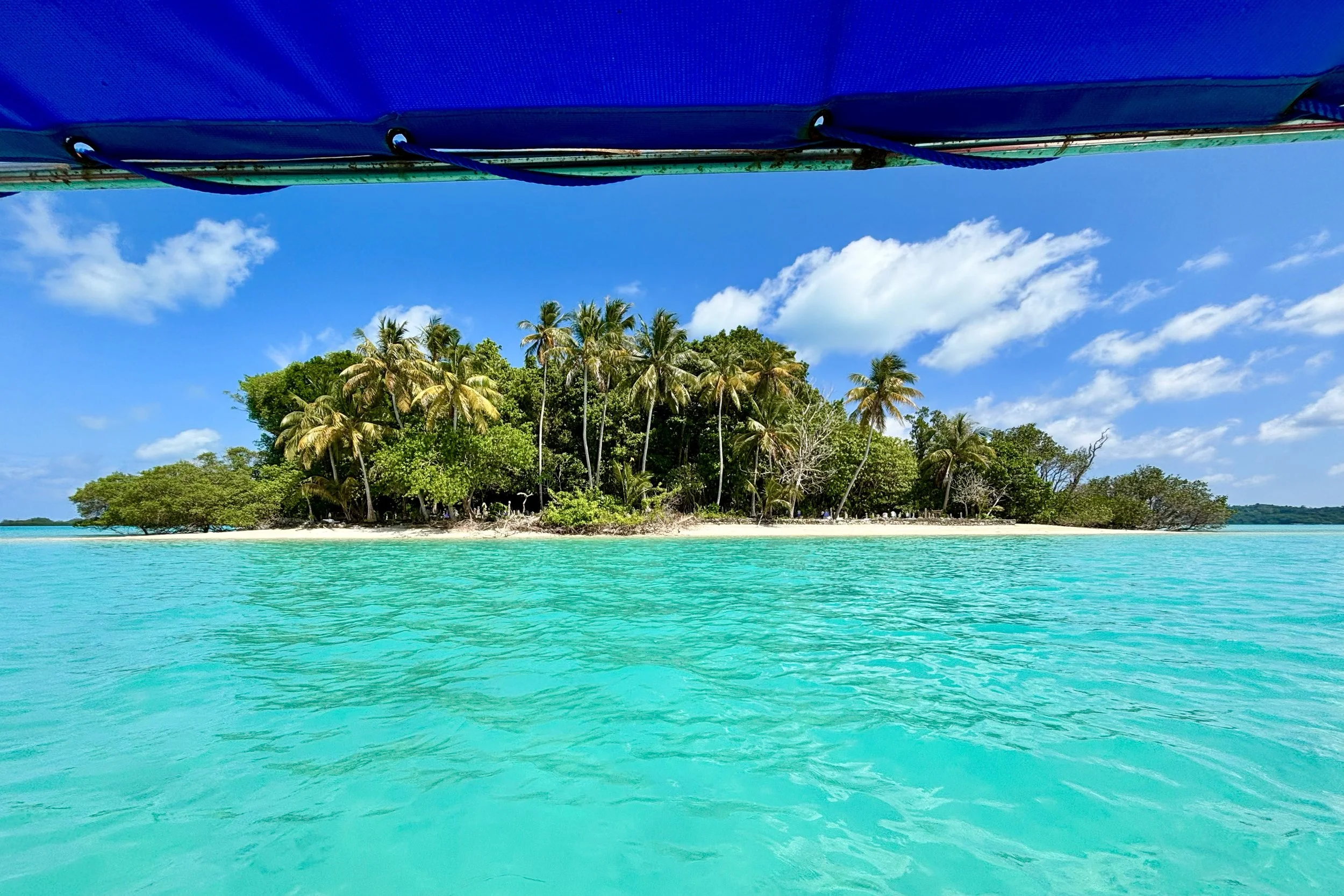
The Spice Islands, Banda Archipelago, Maluku
The Banda Archipelago is one of the most ecologically and historically important marine regions in Indonesia. Ecologically, the Banda Sea is one of the most vital marine basins in Indonesia. With depths reaching 8,000 meters, this area supports a powerful upwelling system, high marine productivity, and biodiversity comparable to other hotspots in the Coral Triangle. Surveys have recorded 397 coral species and 683 reef fish species, making Banda one of the highest biodiversity sites in the Asia-Pacific region.
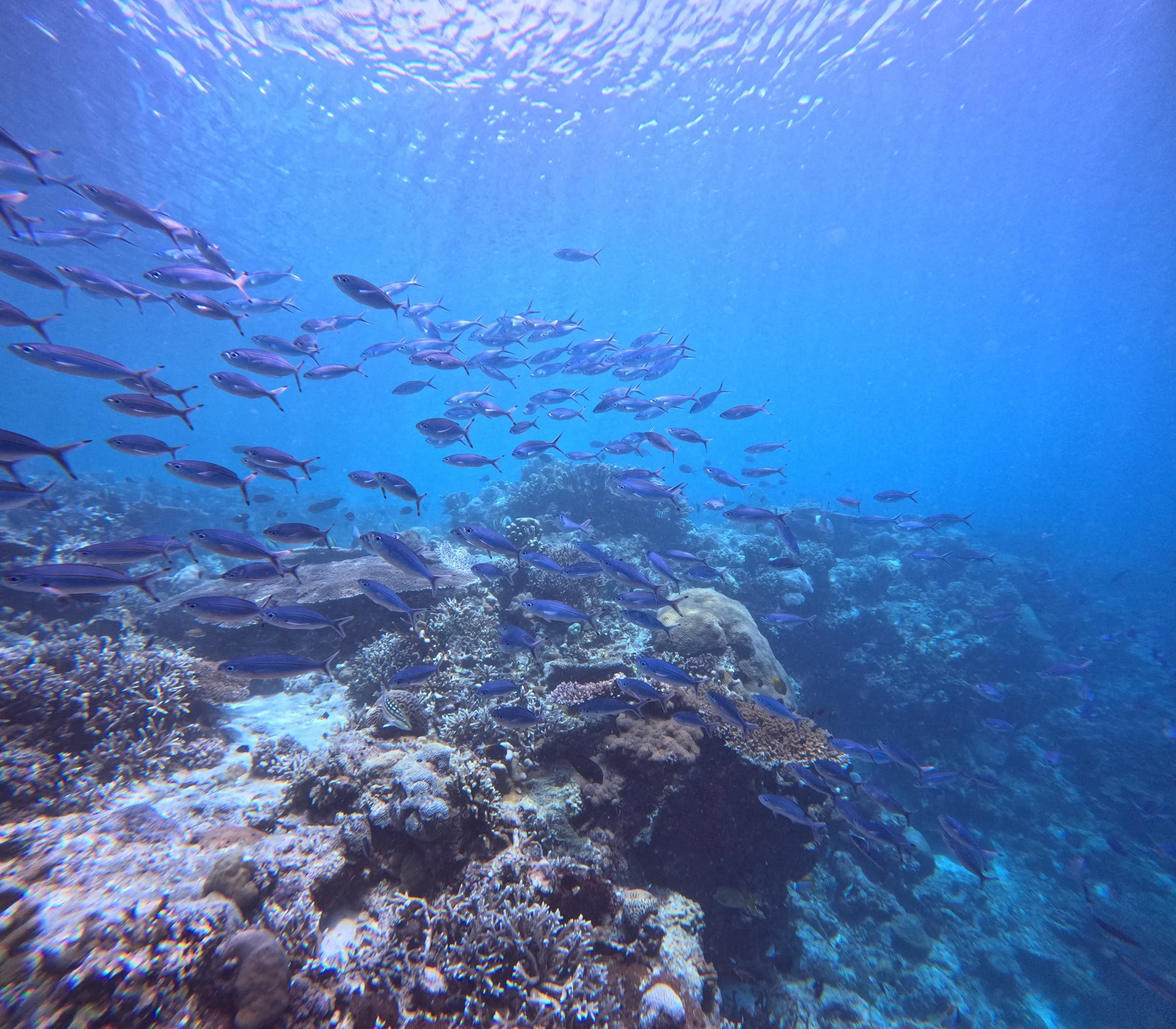
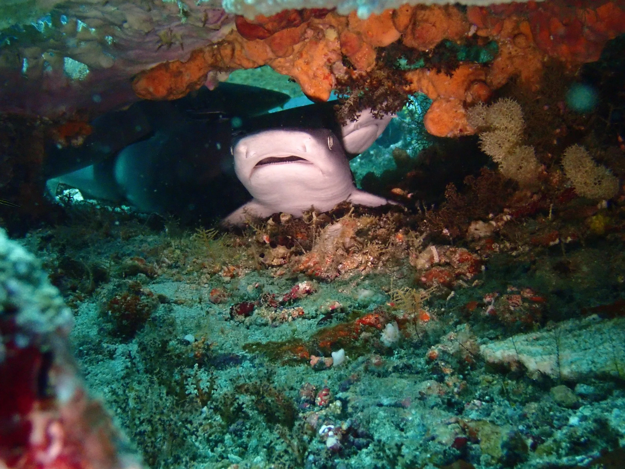
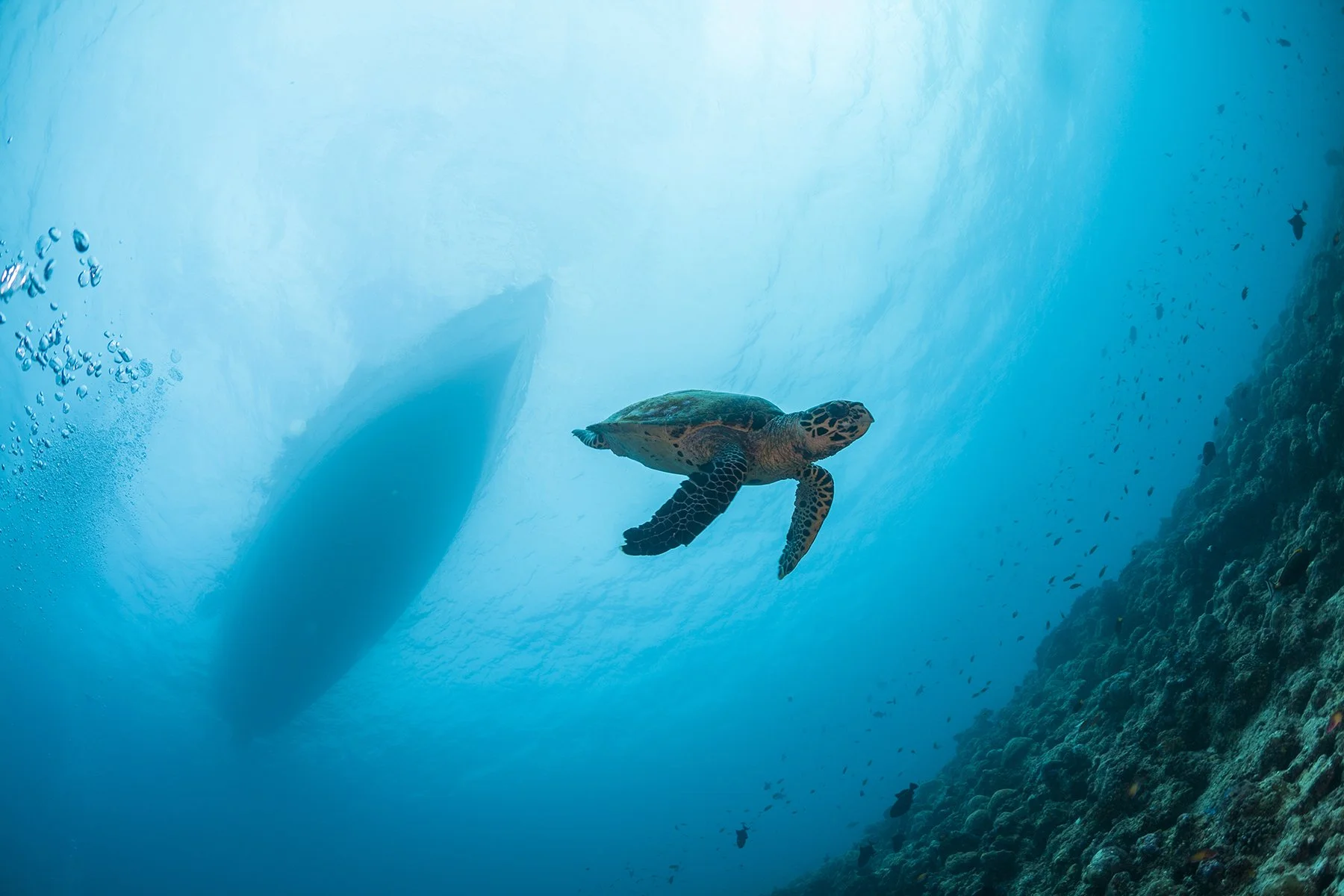
This area serves as a spawning and nursery ground for tuna and a migration corridor for marine megafauna, including green turtles, hawksbill turtles, whale sharks, Napoleon wrasse, dolphins, and various whale species, including dwarf and blue whales. This location is also a key terminal point in the migration routes of marine mammals.
The Ay–Rhun Islands Marine Conservation Area (61,178 hectares), established together with the Banda Marine Tourism Park and the Marine Conservation Area at Hatta Island, forms an integrated protection landscape in Central Maluku. This area is managed by the Maluku Provincial Government.
Maluku Marine Protection Mission
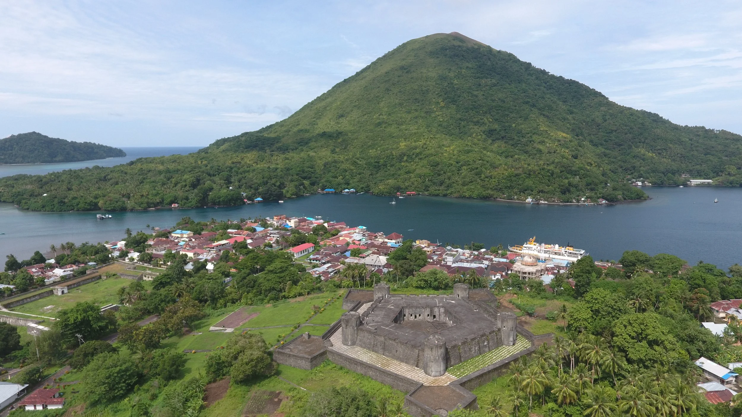
The Belgica Fort in Banda Neira.
This area contains 27 official cultural heritage sites and has been listed on the UNESCO World Heritage Tentative List since 2005. In the National Medium-Term Development Plan (RPJMN 2025–2029), Banda Neira has been designated as a National Strategic Tourism Area (KSPN).
The combination of ecological, historical, and economic values makes Banda a strategic national conservation priority. However, the effectiveness of this designation depends on consistent enforcement and operational capacity.
Strategic Collaboration Between Global Conservation and Maluku Marine and Fisheries Department (DKP) to Strengthen Banda Sea Protection from IUU Fishing Practices
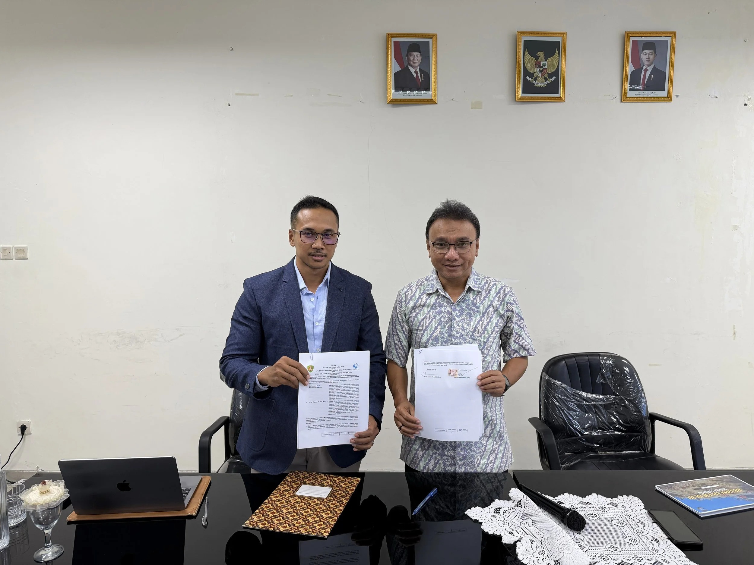
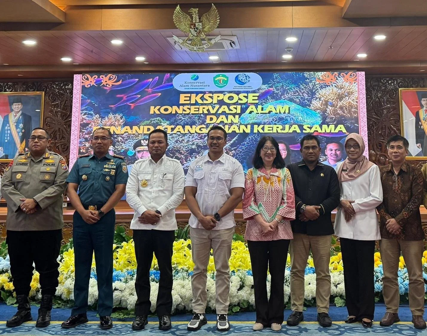
The Cooperation Agreement was officially signed by the Head of DKP Maluku, Dr. Erawan Asikin (right), and the Chairman of YLBKD/GC, Dr. Dadang Mujiono (left), at the DKP Maluku Office in Ambon on Friday, April 24, 2026.
Efforts to protect and sustainably manage the Banda Seas (Spice Islands) have been further strengthened through the signing of a new Cooperation Agreement (PKS) between the Yayasan Laut Biru Kepulauan Derawan (YLBKD)/Global Conservation (GC) and the Maluku Marine and Fisheries Department (DKP) of Maluku Province, Indonesia.
This collaboration focuses on operational support for surveillance and protection of the region from Illegal, Unreported, and Unregulated Fishing (IUU Fishing) practices.
Global Conservation signed its first MoU with the Maluku Fish and Marine Department to kick off a new joint GC Marine Protection program and EarthRanger deployment for the Maluku Islands in the Banda Sea of Indonesia.
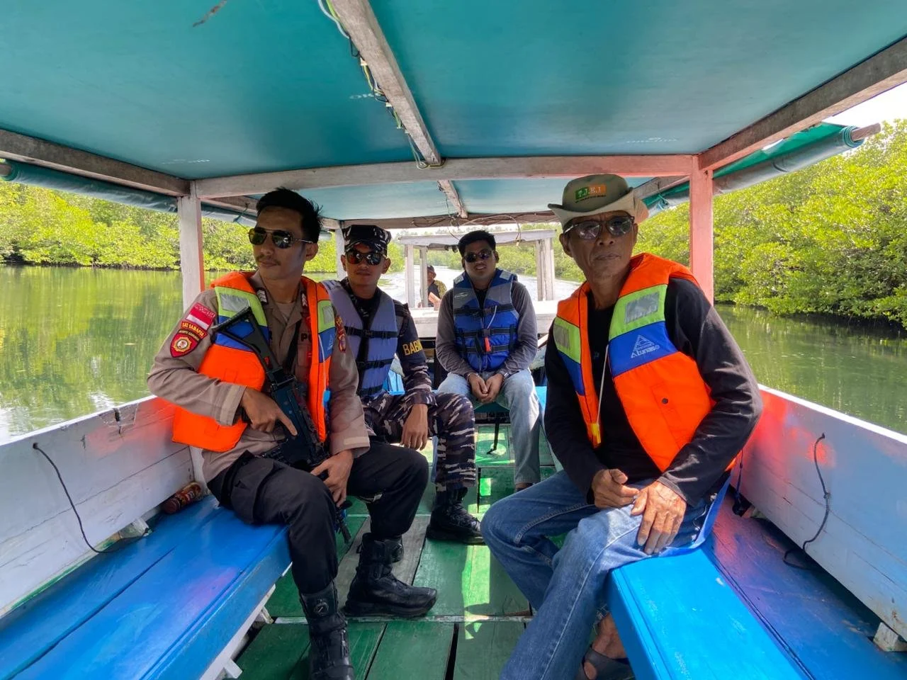
GC organized and supported the first Joint Patrols in the Banda Seas using the EarthRanger platform for marine protection, combining the forces of Maluku Fish and Marine, the Indonesian Navy, Marine Police, and the local community.
In his address, Chief of DKP Dr. Erawan Asikin emphasized that this collaboration is a concrete step towards strengthening a technology-based surveillance system and multi-stakeholder partnership.
In line with him, GC Project Director Dr. Dadang Mujiono expressed YLBKD/GC’s commitment to supporting the local government and fisher communities through a collaborative and innovation-driven approach.
This partnership covers several strategic areas, including:
Operational support for surveillance, both partially and through a shared financing scheme (50:50);
Support for conservation activities targeting key species and/or protected species;
Capacity building for surveillance personnel, related officers, and community rangers, especially in utilizing the latest patrol and monitoring tools such as the Spatial and Monitoring Reporting Tool (SMART) and EarthRanger (ER);
Donating surveillance equipment, such as long-range cameras, binoculars, smartphones, and/or sat-phones, and patrol software;
Assisting the organizational development of community surveillance groups (Pokmaswas) and local NGOs active in conservation; and
Conducting feasibility studies related to the deployment plan of the MarineMonitor (M2) radar systems.
Core Threats to Maluku Marine Protected Area
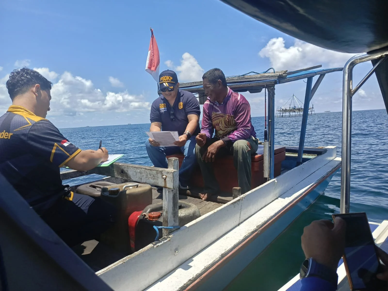
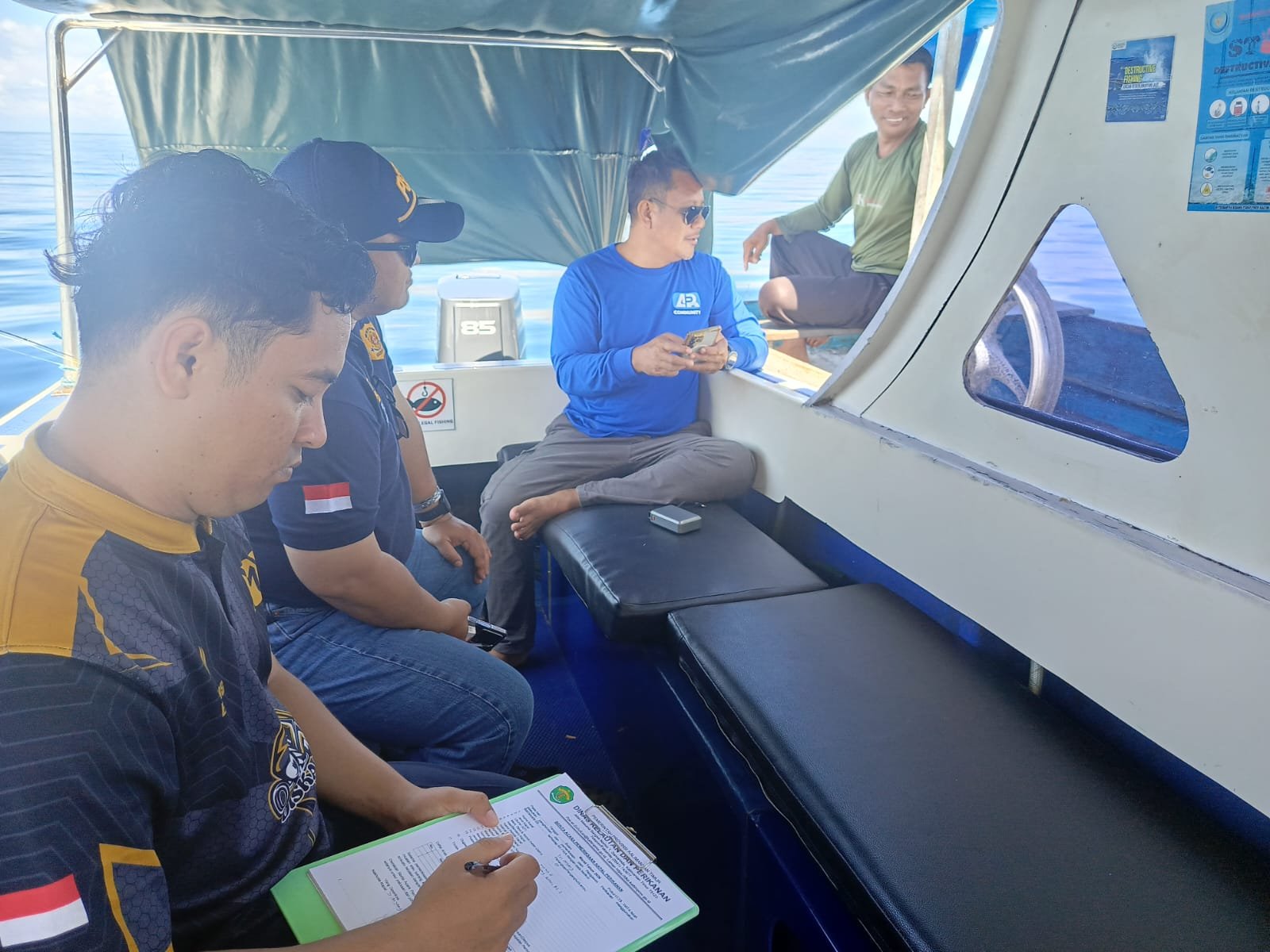
Despite its ecological, historical, and economic significance, the Banda region faces pressures that threaten the effectiveness of its conservation status.
Ecosystem Degradation: Banda’s marine ecosystem faces threats from environmental pressures and human activities. Rising sea temperatures, extreme weather, and volcanic activity combine with destructive practices like coral harvesting, anchor damage, improper waste disposal, the use of harmful fishing gear, and fishing in conservation core zones. These combined impacts weaken reef resilience and biodiversity.
Overfishing and Stock Pressure: High use of fish aggregating devices and unregulated fishing gear increases fishing pressure. Recent studies (CTC, YKAN, PNCI 2022–2023) show overexploitation of key reef fish species, especially snapper, with nearly all of the 20 recorded species categorized as high risk. Tuna spawning areas in WPP 714 further increase the ecological sensitivity of the region.
Weak Operational Enforcement: Despite the legal establishment of conservation areas, monitoring presence remains limited. In 2024, seven patrols were conducted in the Banda Marine Tourism Park and five patrols were conducted in the Ay–Rhun Marine Conservation Area. This frequency is too low to effectively monitor the vast, high-value marine area. The lack of surveillance creates opportunities for illegal practices such as fishing, violations of core zones, and harvesting of protected species.
Geographic Isolation and Limited Access: The Banda Islands are located about 232 km from Ambon and can only be reached by limited flights (about one hour) or by sea (9–16 hours). This isolation slows response times and increases operational expenses, resulting in inconsistent enforcement.
Main Structural Issue: The main challenge is not the lack of conservation status, but the lack of consistent, structured, and data-driven enforcement. Without operational support, the ecological and cultural value of Banda remains vulnerable even with protected status.
Deployment and Training on EarthRanger Marine Protection System
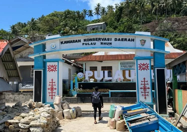
The proposed location for MarineMonitor (M2) radar and long-range cameras.
The series of activities continued with the handover of the first batch of Marine Surveillance equipment, consisting of smartphones, waterproof tablets, and binoculars, to the DKP Maluku.
A training session on the use of the EarthRanger (ER) was led by the Banda Sea Protection Coordinator, Zenobia Helza, M.M. This training was attended by fisheries supervisors and marine spatial utilization officers, who demonstrated great enthusiasm in learning about the digital monitoring system.
Through this collaboration, it is hoped that a more integrated, adaptive, and responsive surveillance system will be established to address various threats in the Banda Sea region while also strengthening Maluku’s position as one of Indonesia’s leading marine conservation centers.
Exploration and Field Testing of Banda Sea Monitoring Technology
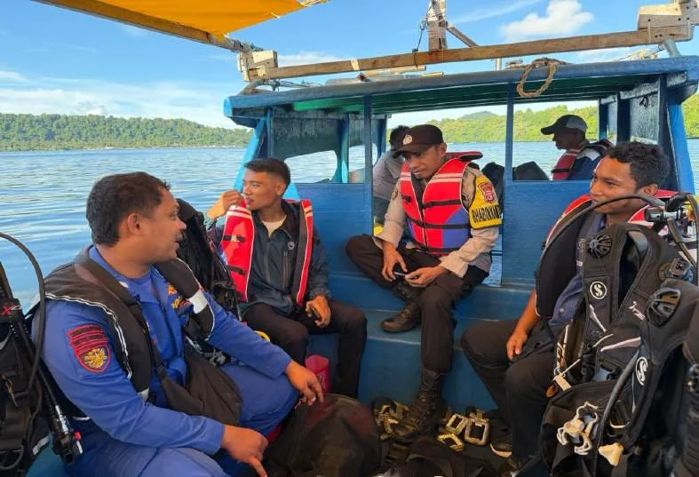
Joint Patrols with Maluku Fish and Marine, the Indonesian Navy, Marine Police and the local community.
After the collaborative meetings and training, a joint patrol was made to Banda Neira, marking the start of the operational phase focused on strengthening surveillance and exploring conservation potential in the Banda Sea region.
Upon arrival, the GC/YLBKD team, along with the Marine Spatial Utilization (MSU) staff from the Maluku DKP, Mr. Ray Purnama, and the Maluku Portfolio Manager from the Coral Triangle Centre (CTC), Mr. Purwanto, conducted a joint patrol and diving at the Lava Flow area of Banda Neira.
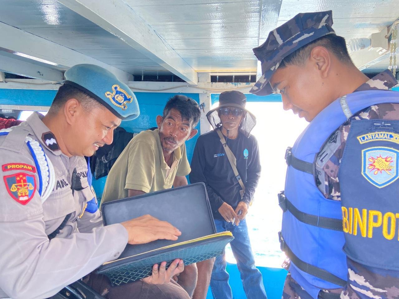
Global Conservation and DKP Maluku fisheries supervisors stationed at the Banda Neira Branch, along with law enforcement officials from the Marine Police and Navy, conducted joint patrol activities around the waters of Banda Neira, Pulau Ay, and Pulau Rhun.
In addition to patrols, the team, comprising Dadang Mujiono, Zenobia, Mr. Ray, and Mr. Purwanto, conducted further diving at the Teras Kampung Pulau Ay site. This location features a unique coral terrain with a steep reef slope, where coral grows vertically from the bottom to the surface. The area is also rich in sea fans, which enhance marine biodiversity and ecological value.
During monitoring activities, the GC Banda Team often encountered liveaboard ships engaged in diving tourism around Banda Neira waters, Pulau Ay, and Rhun. This underscores the area’s status as a highly attractive international tourist destination.
Investigating Locations for the MarineMonitor (M2) Radar System
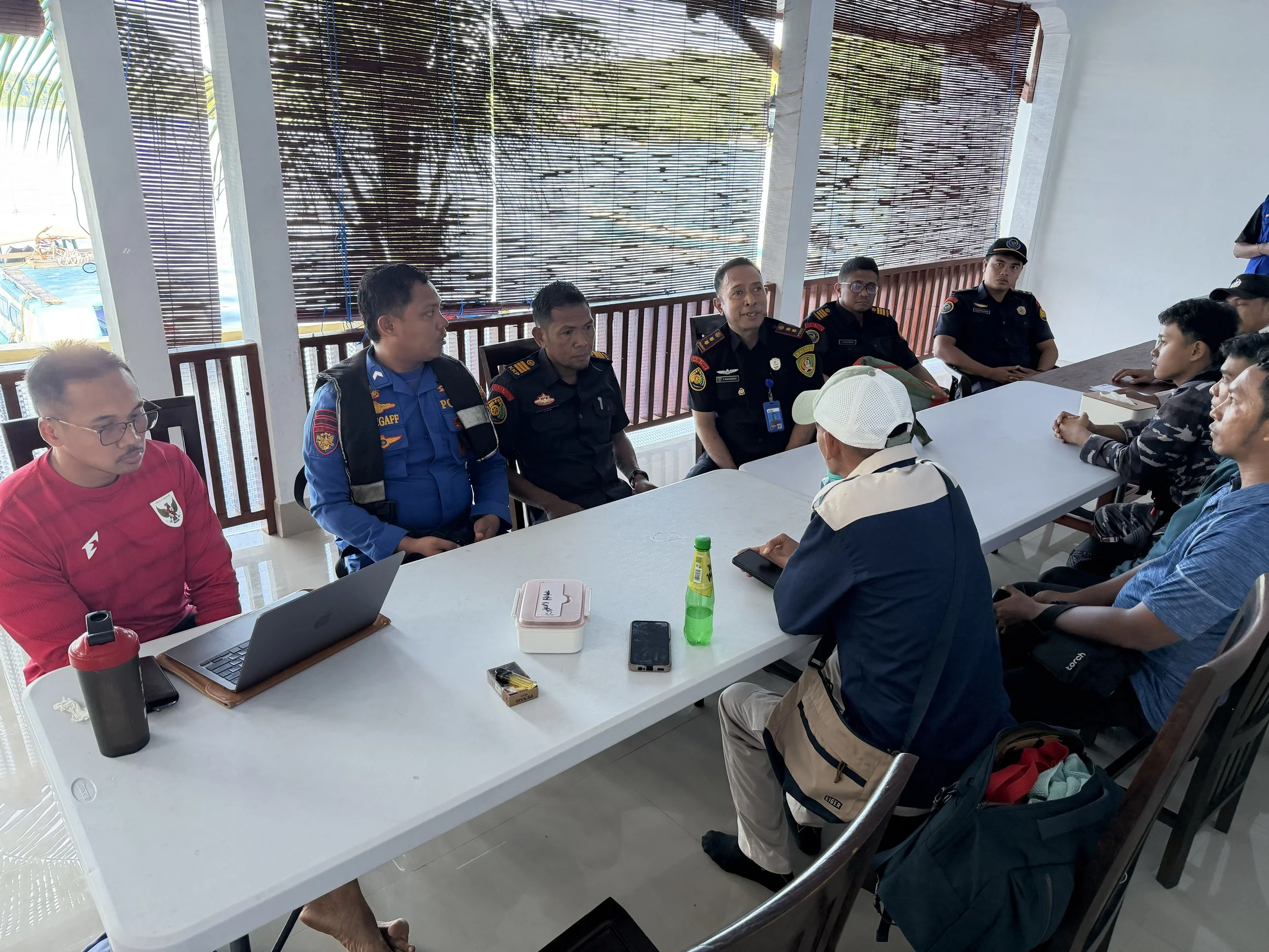
Coordination before patrol at the CTC office, Banda Neira.
One of the main focuses was identifying strategic locations for deploying the MarineMonitor (M2) system. Based on field observations, Pulau Ay was deemed highly strategic for M2 deployment, as its position could cover the three main islands in the Banda area: Banda Neira, Ay, and Rhun.
In the evening, the GC/YLBKD team held a discussion, facilitated by Mr. Purwanto from CTC. All patrol members attended this session, which shared experiences and operational insights on using the M2 system. The discussion was highly interactive and demonstrated strong commitment to adopting modern and effective surveillance technology.
These activities highlight the importance of collaboration among government agencies, NGOs, law enforcement, and conservation partners in preserving the Banda Sea. Technological support, capacity building, and cross-sector collaboration can enhance the effectiveness of marine monitoring, striking a balance between resource utilization and sustainable conservation.
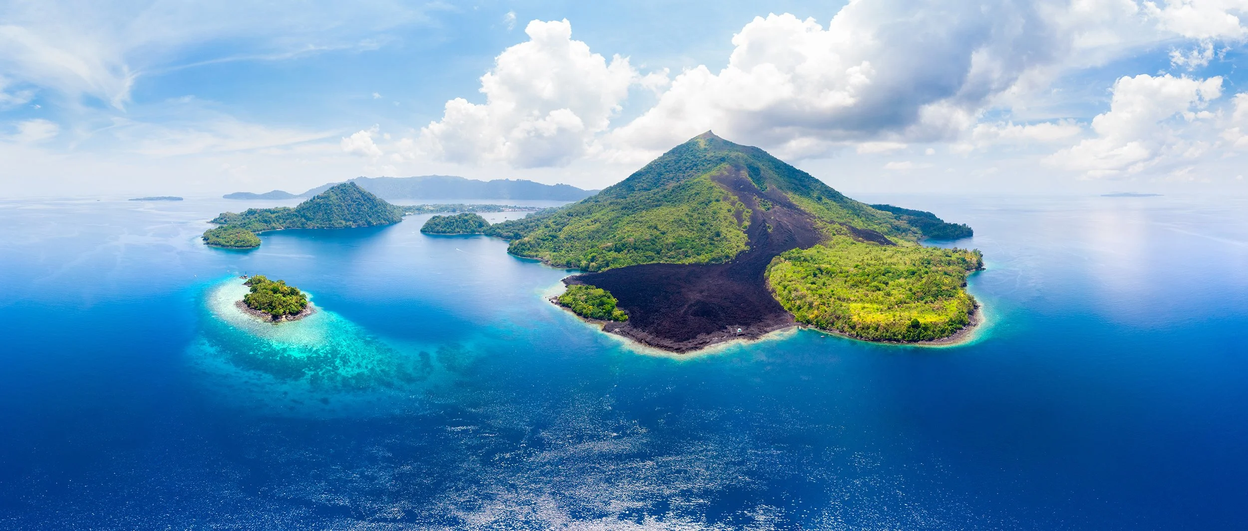
Aerial view Banda Islands Moluccas archipelago Indonesia, Pulau Gunung Api.
Following the signing of a Cooperation Agreement between the Yayasan Laut Biru Kepulauan Derawan (YLBKD)/Global Conservation (GC) and the Maluku Marine and Fisheries Department (DKP) in Ambon, the GC/YLBKD team continued a series of activities in Banda Neira as part of the initial implementation of field collaboration.
Arriving at Banda Neira via plane ushered in the operational phase, which aimed to increase monitoring and investigate conservation opportunities in the Banda Sea area. The GC/YLBKD crew, accompanied by Mr. Ray Purnama of the Maluku DKP's Marine Spatial Utilization (PRL) personnel and Mr. Purwanto of the Coral Triangle Centre (CTC)'s Maluku Portfolio Manager, dived into the Lava Flow area of Banda Neira as soon as they arrived.
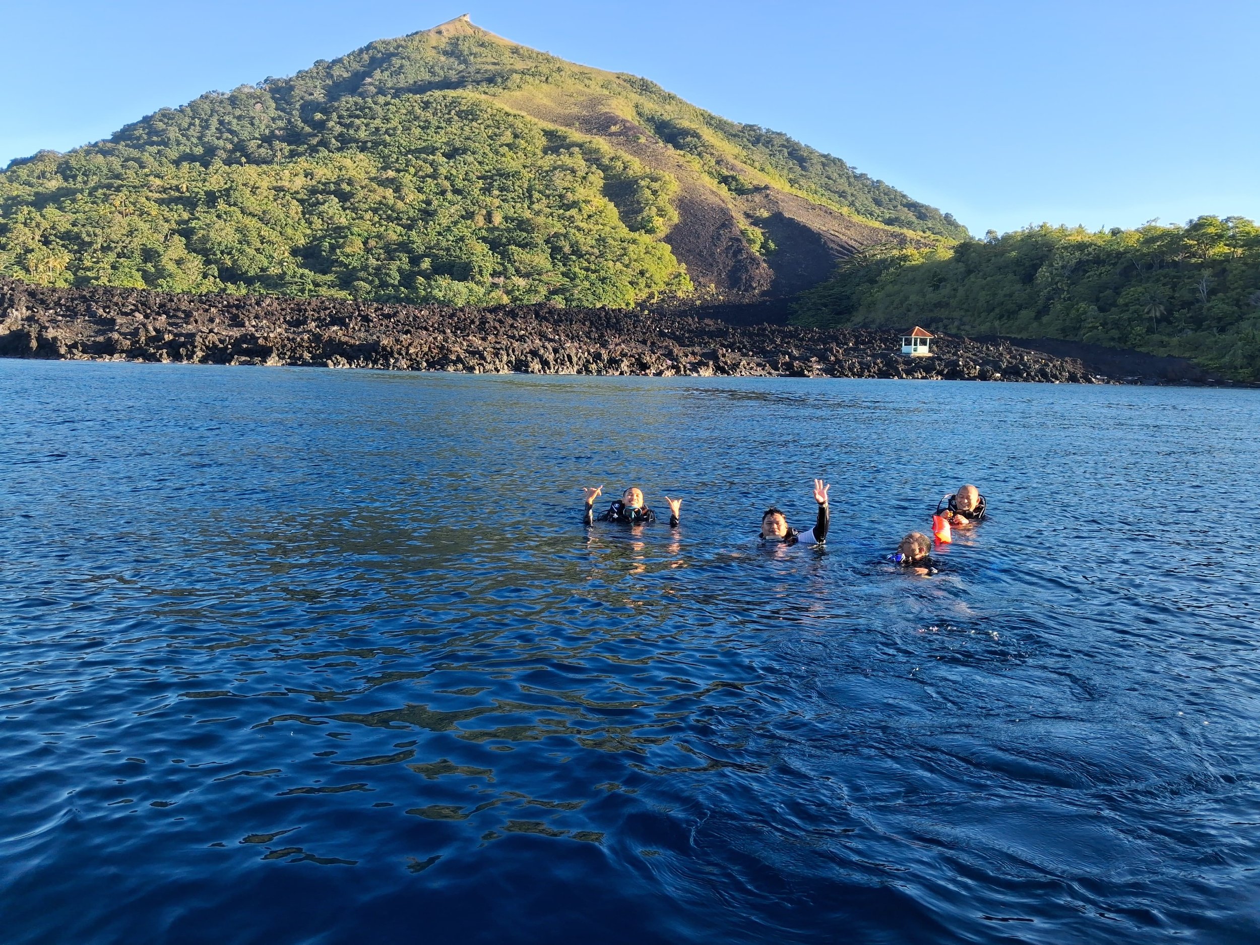
The Lava Flow site is one of the iconic diving spots formed by lava flows from the Banda Volcano eruption in 1988. Today, this area has transformed into a vibrant coral reef ecosystem with dense and extensive coral cover. The rapid coral growth over the lava substrate exemplifies the resilience and regeneration of the marine ecosystem in the Banda Sea.
The next day, the GC/YLBKD team, together with DKP Maluku fisheries supervisors stationed at the Banda Neira Branch, as well as law enforcement officials from the Marine Police and Navy, conducted patrol activities around Banda Neira waters, Pulau Ay, and Pulau Rhun. This activity also served as a test of the EarthRanger (ER) system’s support for field monitoring. Participants used the technology to improve the effectiveness of real-time surveillance, allowing them to detect illegal fishing activities and monitor marine biodiversity more efficiently.

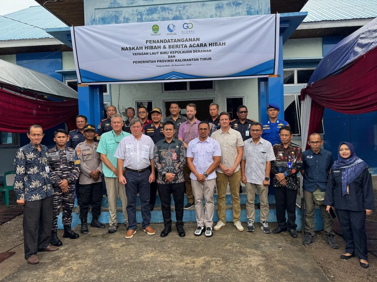



Yayasan Laut Biru Kepulauan Derawan (YLBKD), in collaboration with Global Conservation (GC), continued to strengthen marine protection in the Derawan Archipelago through support for patrol operations, the deployment of M2 monitoring technology, capacity building for law enforcement, and initiatives focused on community empowerment and applied research.